Here's the track that shows how close we got to making the normal loop, but the detour we had to take: (click on the garmin recording for more stats and a bigger map)
Here is the navigation track on google maps
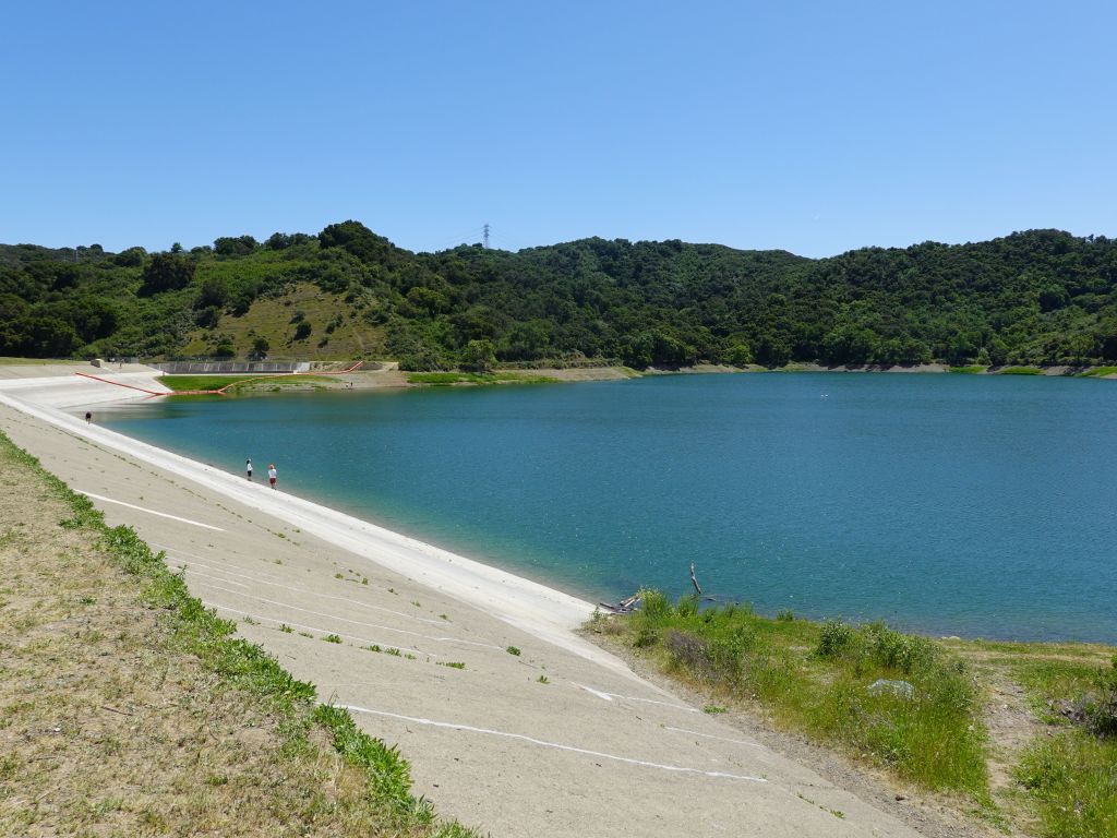
we biked by the reservoir which had finally gotten a bit of water
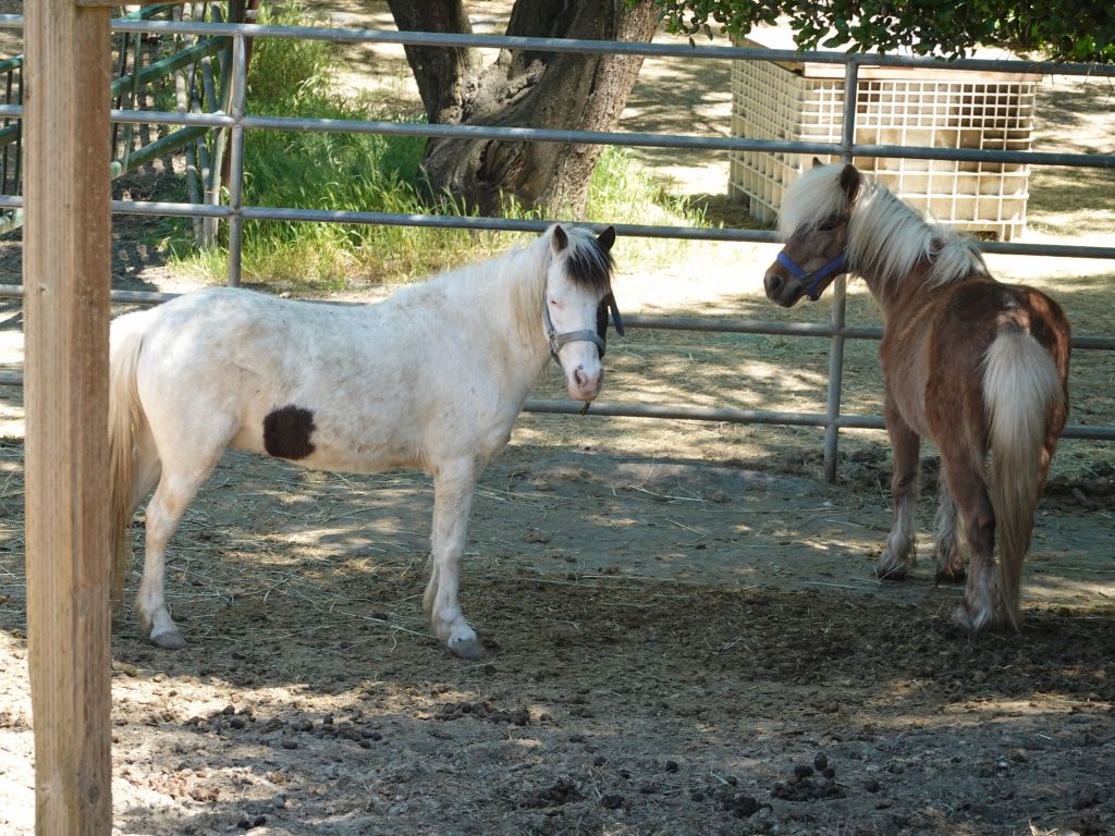
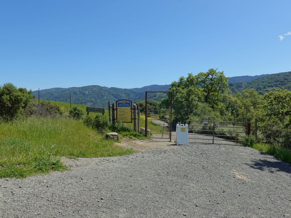
and then made it to Garrods Farm just to find out that the trail access was closed :(
We ended up biking all the way around Eden Road, losing all the altitude we had just painfully gained, and took another entrace to the park, that was walking only:
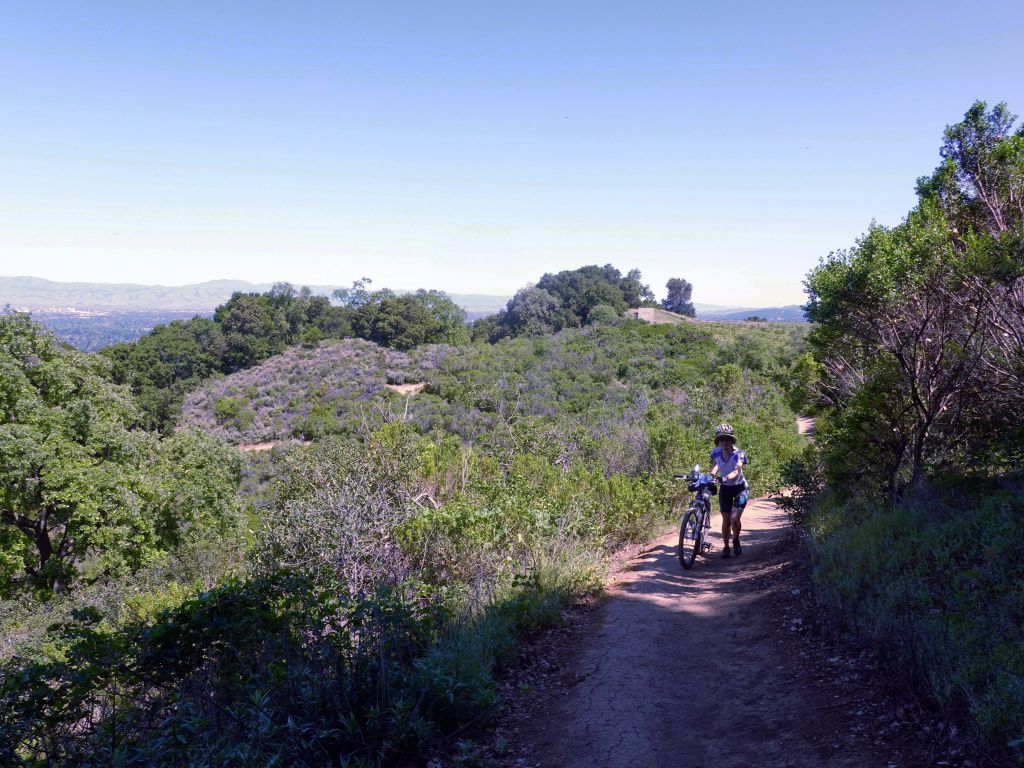
After over an hour going around including a steep way back up we had to walk in parts, we got back to the same point we were had, had e been allowed to cross:
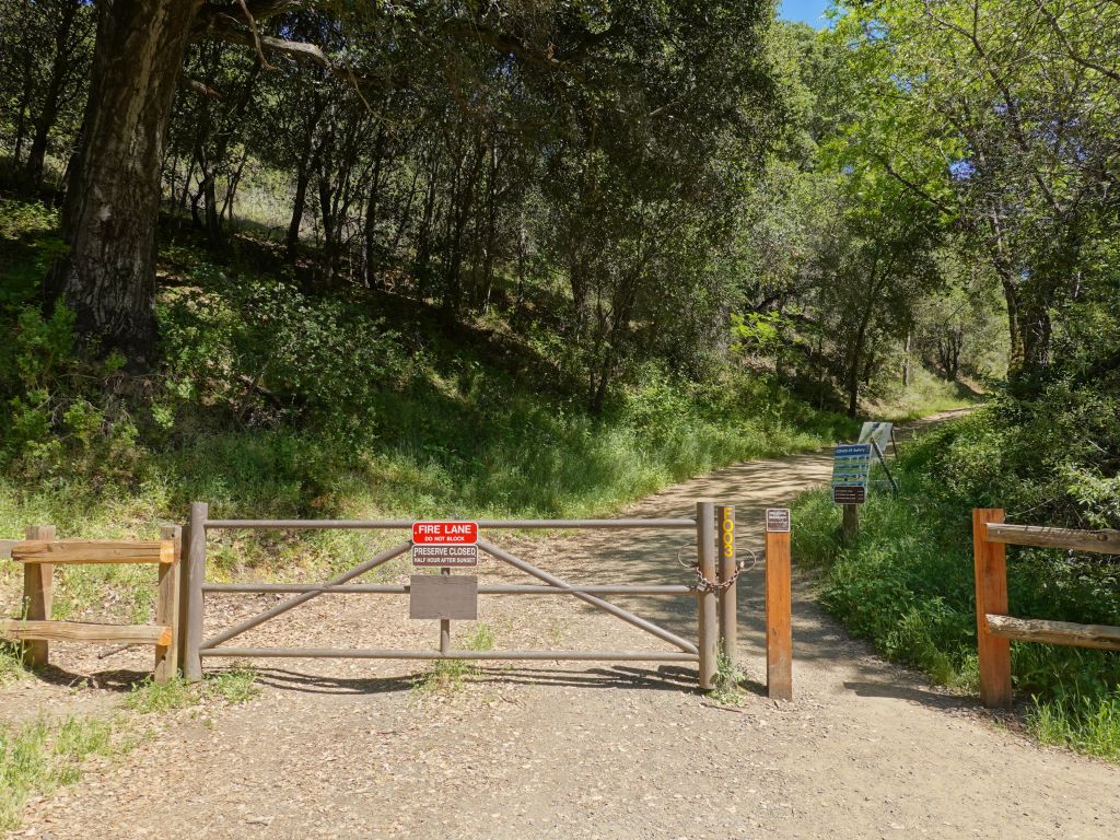
and we resumed the ride to an exit that was totally open to bikers
I plotted a route to McClellan and Stevens Creek Trail
We ended up with a much longer ride than planned, but it was still nice.
