Jennifer setup a backpacking trip for us over thanksgiving, and going there by "regular means" would have been a flight to Vegas or Pheonix, and a 5-6 hour drive after that (probably 10 hours door to door). A less than 4H direct flight to Grand Canyon airport sounded like a much better idea (not counting much more scenic when overflying Vegas, the Hoover Dam, and the Grand Canyon, so there we went.
You can see this page to read about the trip to Vegas and the backpacking to the bottom of Grand Canyon.
I was able to rent a very nice turbo SR22, which gave us more options to cross the Sierras at high altitude if need be, de-icing just in case, and a chute in case things really went wrong (not that I would plan for that, but it doesn't hurt to have).
Thankfully the weather was actually perfect that day, which was far from being a given over thanksgiving.
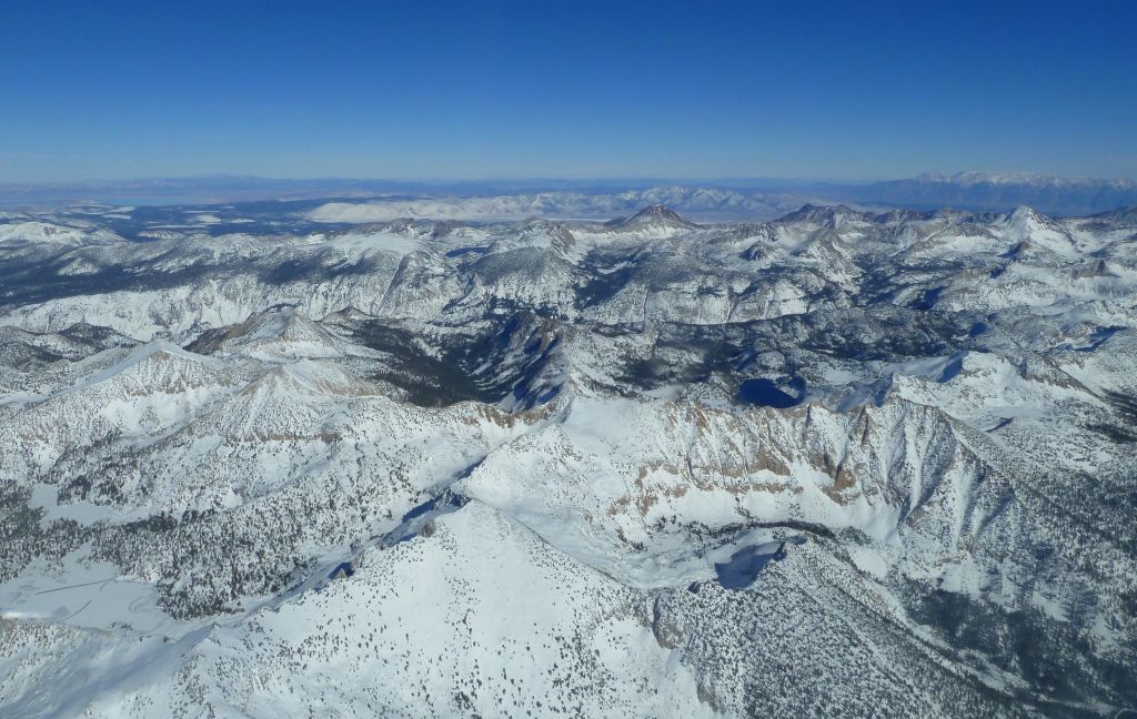
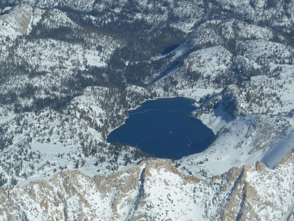
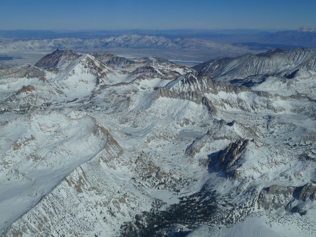
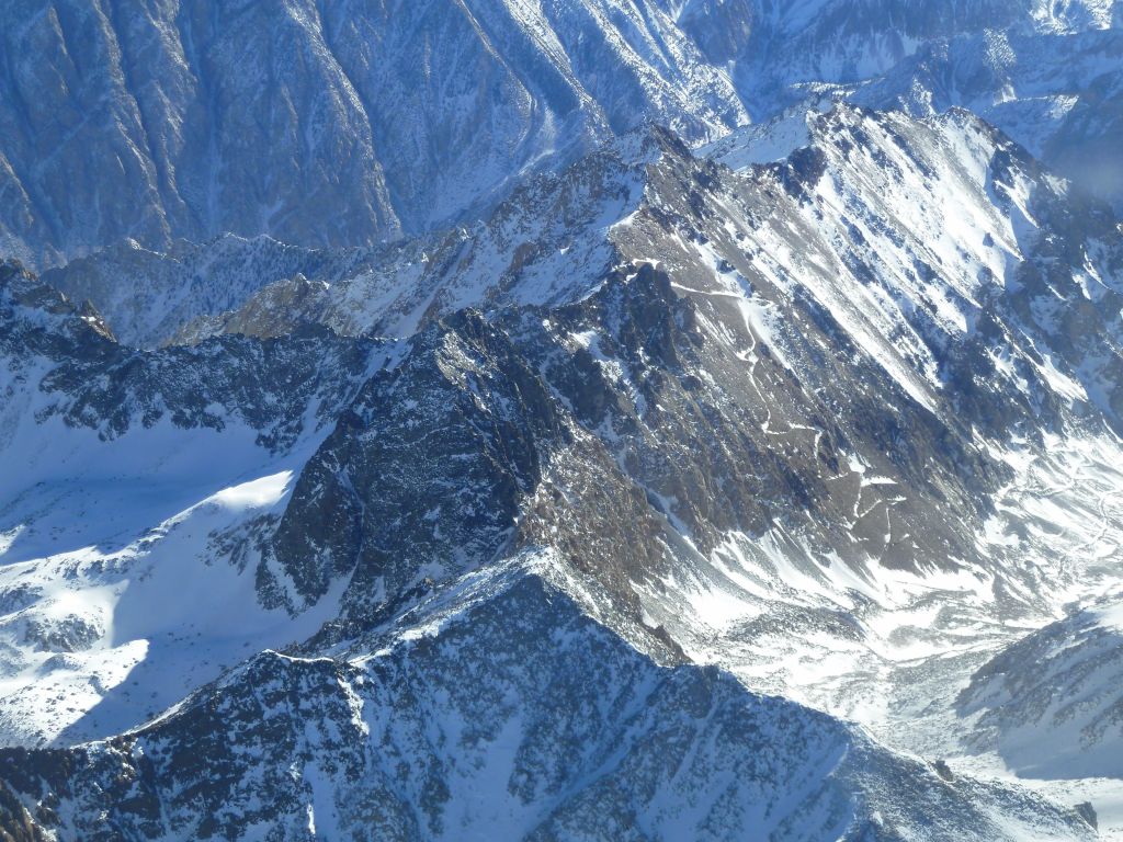
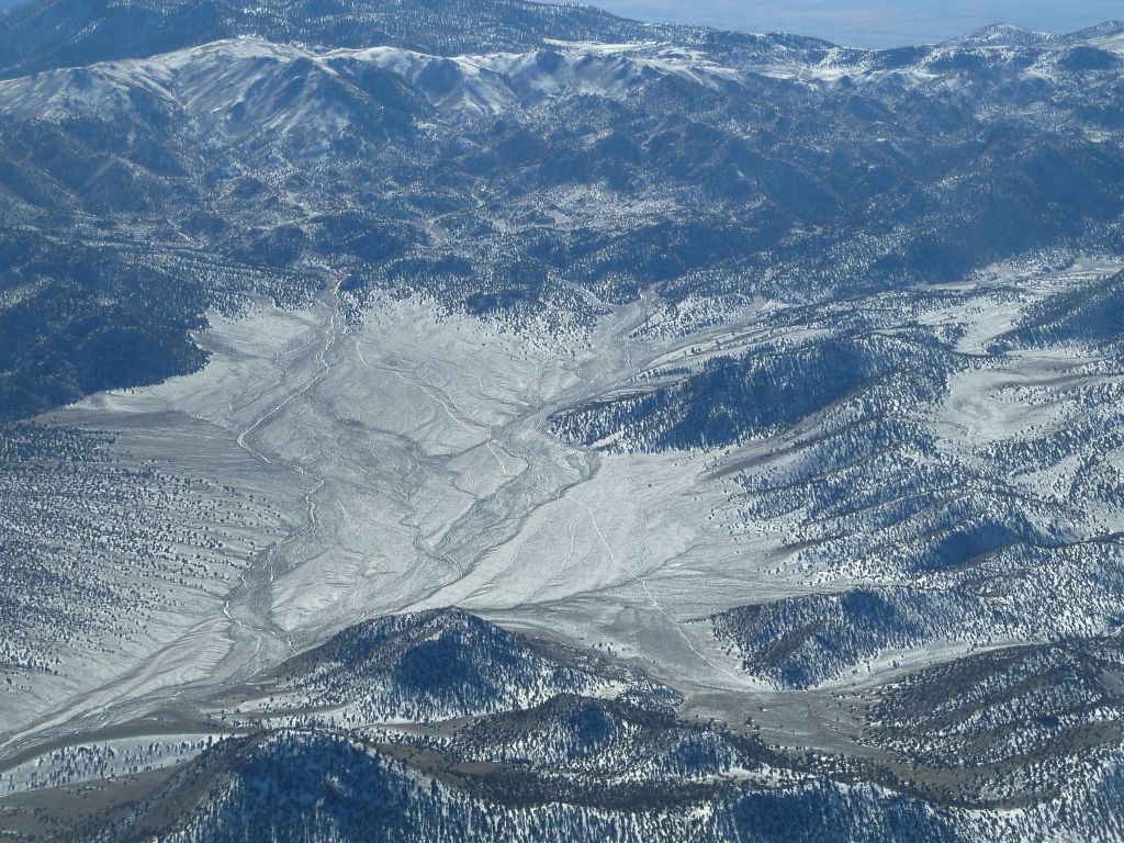
The Sierras were already quite nice and snowy:

almost crossed to hwy 395

Bishop Pass trail to John Muir Trail?

The flight is in pink
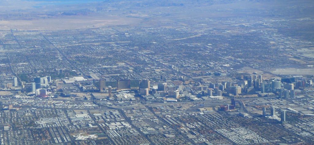
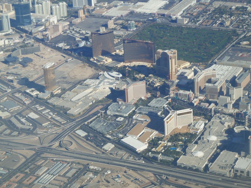
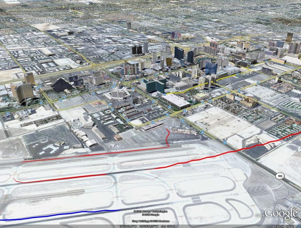
Eventually we made it to Vegas:

Vegas Suburbs, including a new one being built

McCarran Airport
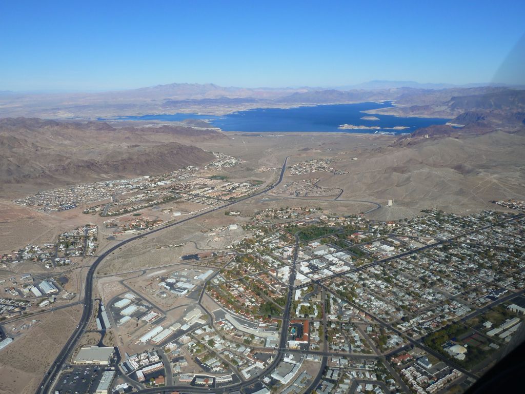
Then, I went for the Hoover Dam:

the new bridge is completed
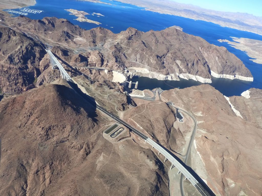
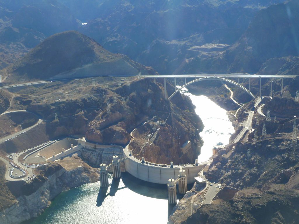
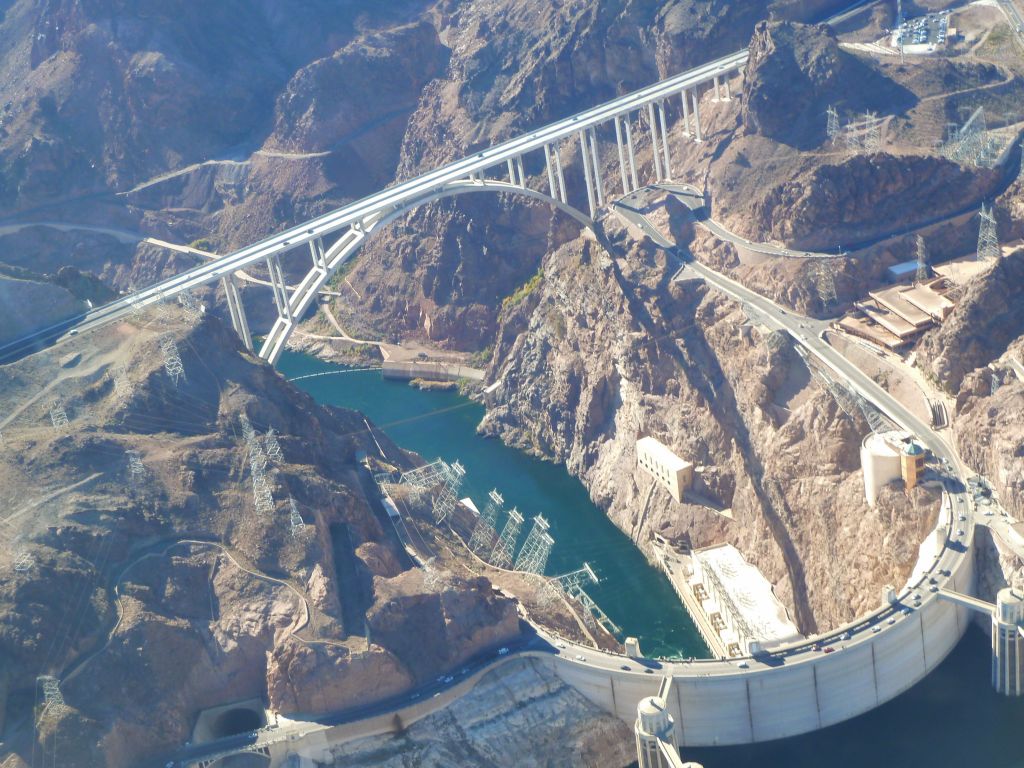

Google Earth already added the new bypass bridge
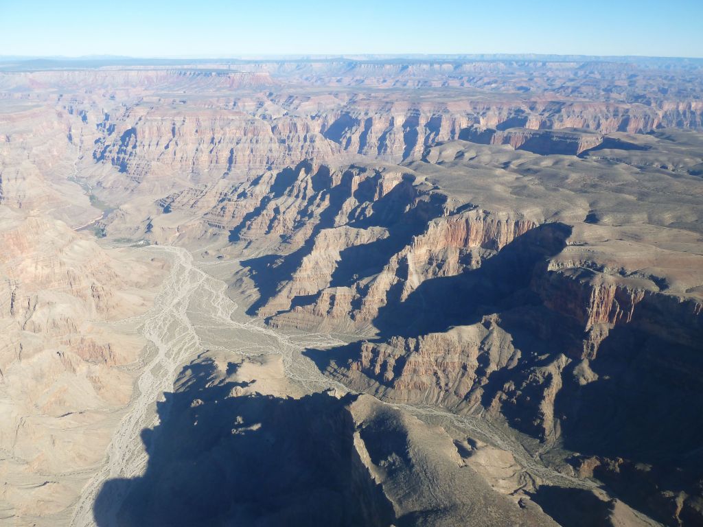
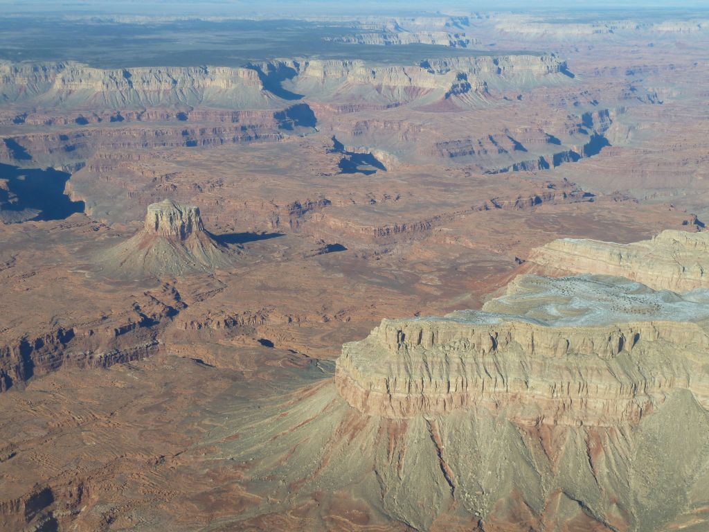
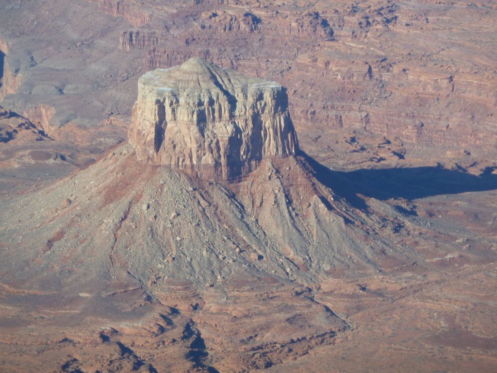
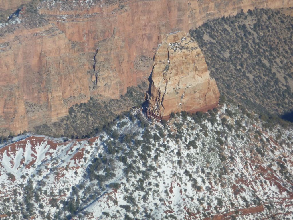
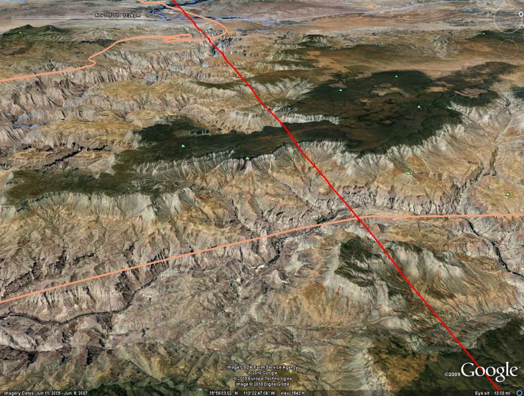
And finally I had a GPS plotted route through the Grand Canyon (which is actually fairly tricky since it's filled with no fly zones if you're below 14,500ft).

The flight is in pink

Grand Canyon West with the Grand Canyon Skywalk

Skywalk

Flight over The Skywalk

I had a follow the magenta line GPS track plotted to get in the hard to follow corridors

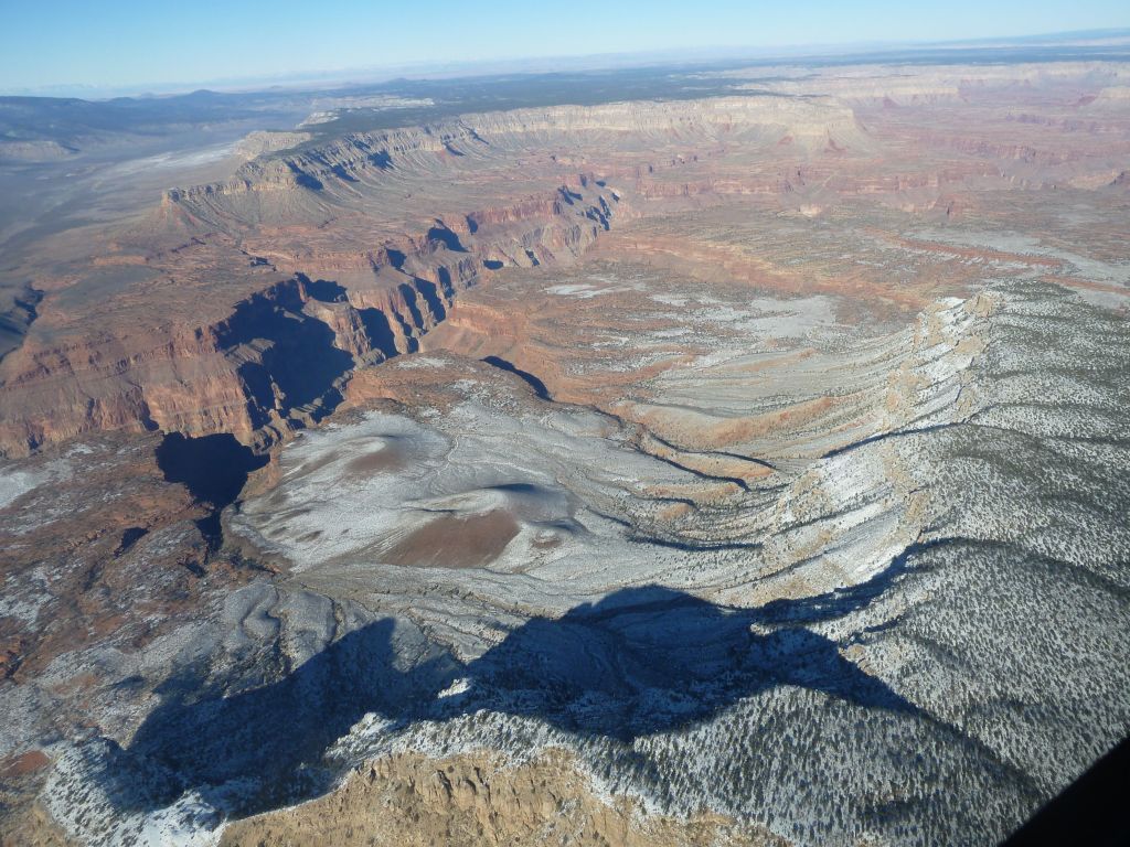
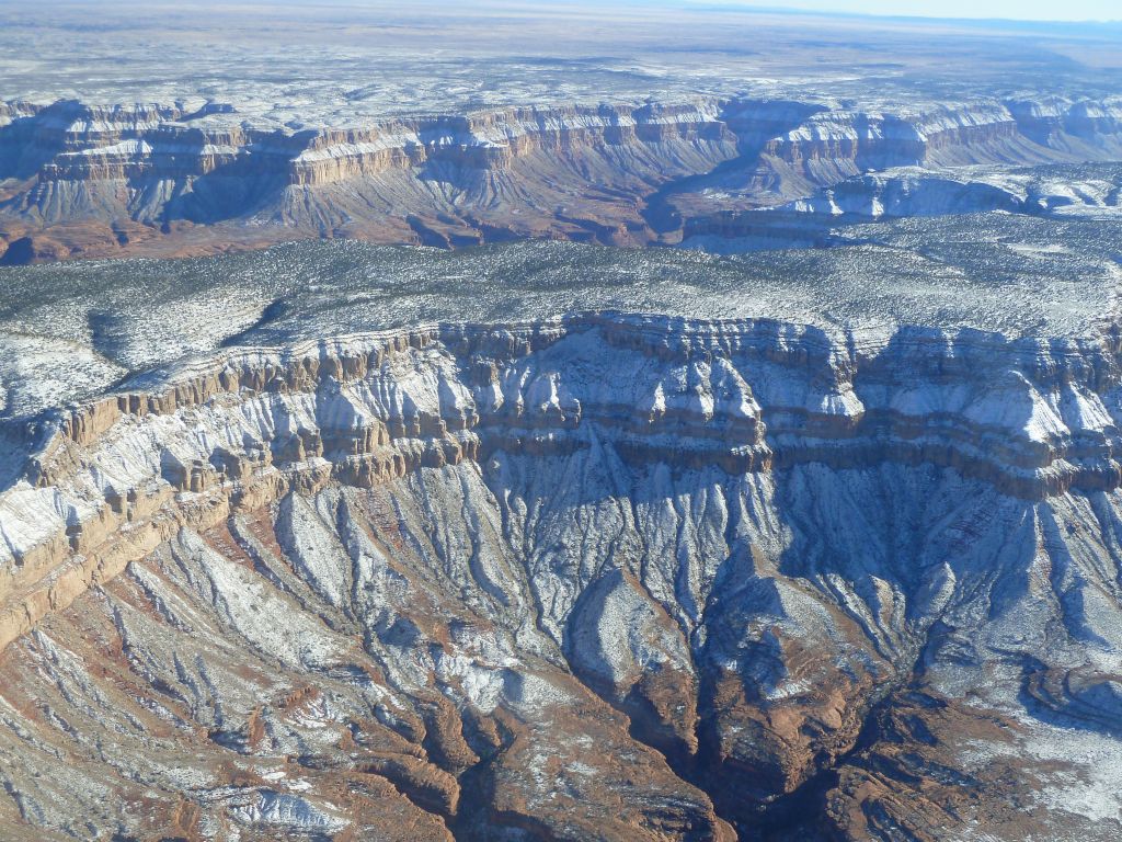
I then crossed to the higher altitude North Rim which was snowed in

North Rim road was snowed in

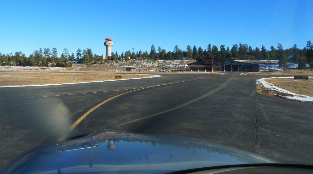
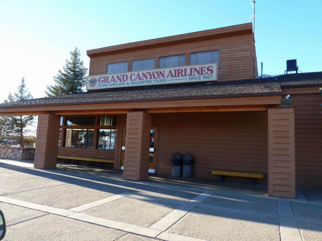
Grand Canyon Airport
It was a great flight, fantastic views and weather for November.
")


 and landing (red)")

")


")


