This is what we did:
and this is the plan that Arturo made with altitudes:
Here are the stats retrieved from Garmin Connect:
                        Move Ovrl      Avg Max
     Dist    Time  Move Avg  Avg  Cal  HR  HR  Climb  Desc
Day1  6.09   4h11  3h02 2.3  1.9  1408 113 146  1711   472
Day2 10.69   8h28  5h12 2.1  1.3  2456 107 149  2088  2306
Day3 14.45   8h45  5H05 2.3  1.7  2349 105 141  2391  2674
Day4 11.54   7h06  3h52 2.8  1.6  3980 109 144  2389   859
Day5  5.30   2h36  2h13 2.4  2.3   628  94 138   492  1865
Tot  48.07  30h46 19h24 2.4  1.7 10821 105 143  9071  8176
(totals/averages computed through https://docs.google.com/spreadsheets/d/1hu2toMis2o-FNpR9gDjq7K8zvUe9o4mLiw6mcqi3_Pw/edit?usp=sharing )
I got new more expensive and newer gear to be lighter, this time I had:
19lbs backpack with gear (new lighter tent, thermarest, and sleeping bag, as well as a new lighter gas stove. Also took a single kevlar ursack to save more weight)
5lbs Fanny pack (mmh, ok, I guess I need to work on that, haha)
5lbs food
My new total load was 29lbs without water, a new record, although I can likely still shed some stuff, but I'm happy I brought the clothes I did, because the new REI 30F dawn sleeping bag was totally not warm enough and I had to wear all my clothes in it when it froze overnight.
Hiking with the lower weight and just a single aleve every day made a big difference, no need issues/pain at all during all 5 days!
Day 1: Flying to Mammoth and Cab to Agnew Meadows
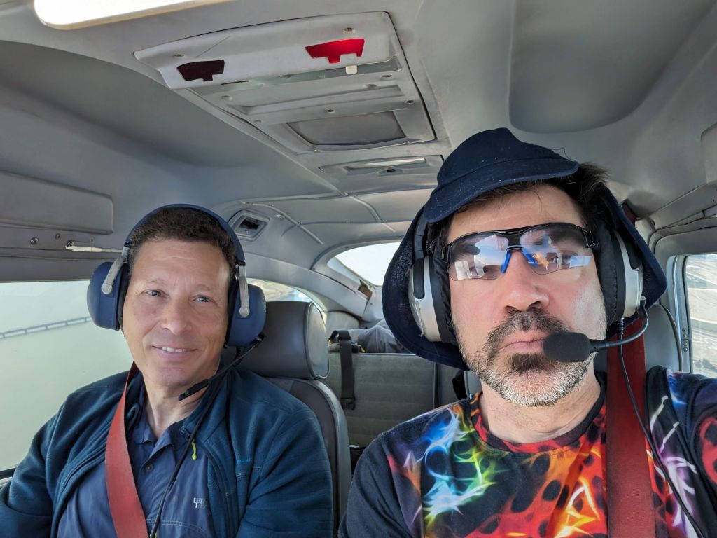
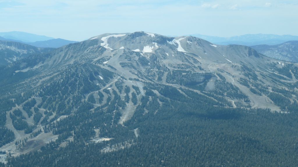
We flew to Mammoth which was an easy and scenic 1h20 flight instead of a 6H+ drive.
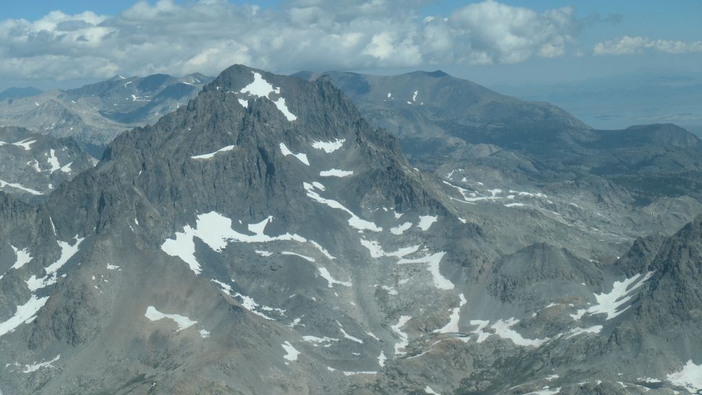
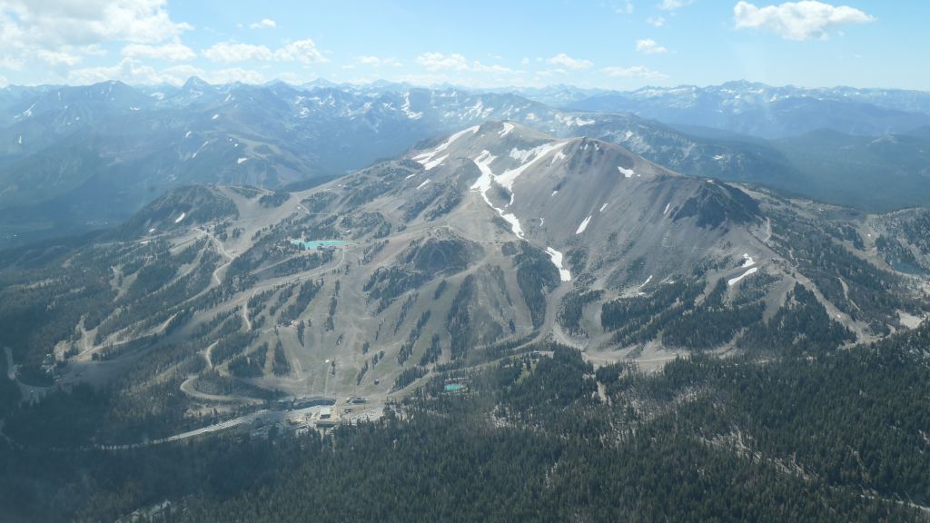
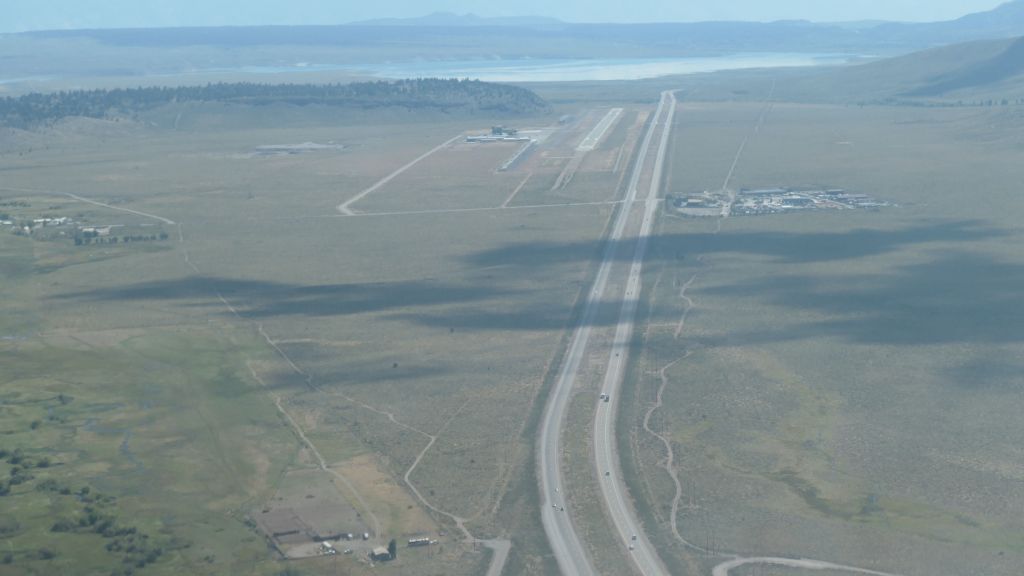
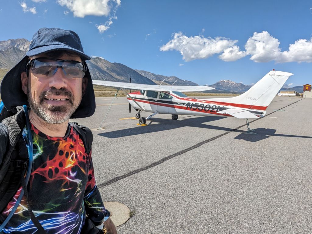
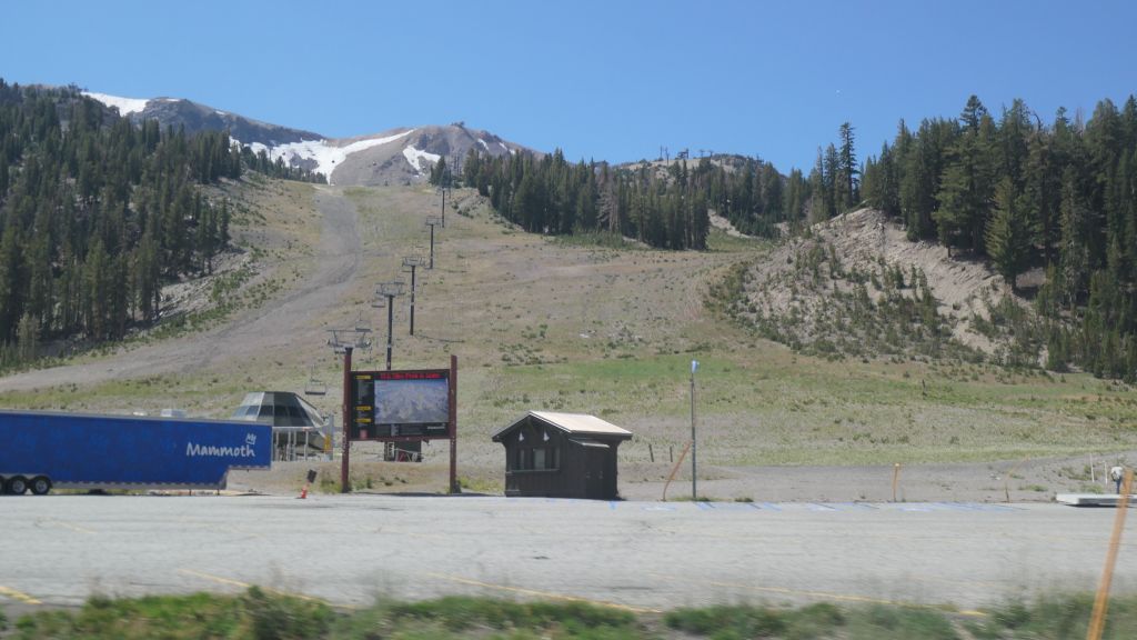
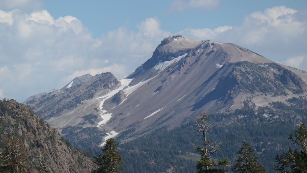
fun to see Mammoth with a little less snow :)

gondola still running
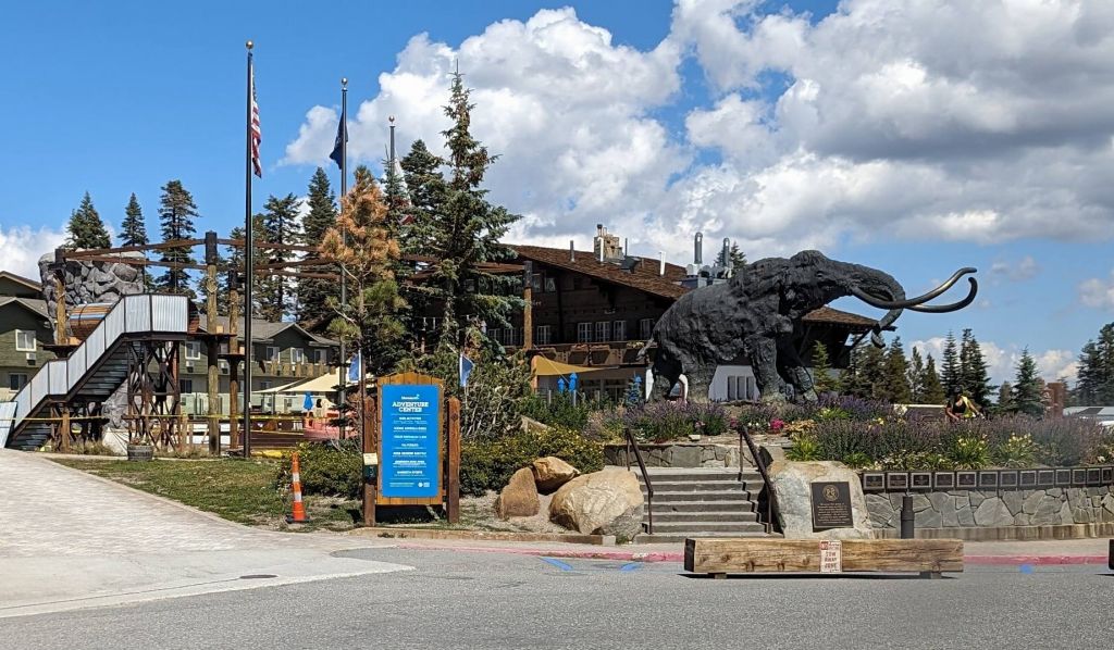
Day 1: Agnew Meadows to Badger Lakes (6mi)
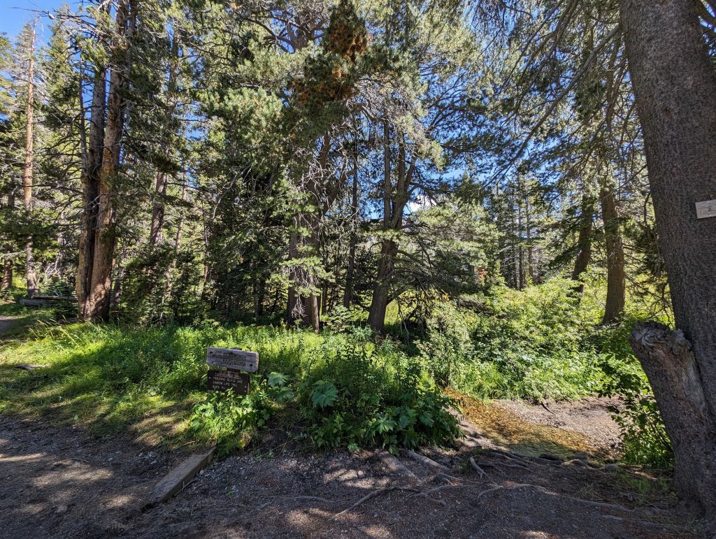
Day one was a short day since we flew at Mammoth airport that morning and got dropped off at the trailhead around 12:30. Not bad given that we were still in the bay area that morning. After an expensive cab ride to the trailhead, we went on our way. Pretty easy 6 mile hike uphill. We arrived at Badger Lakes well before sunset:
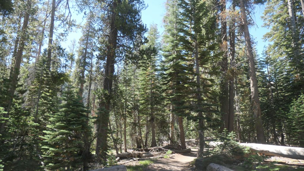
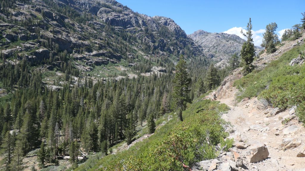
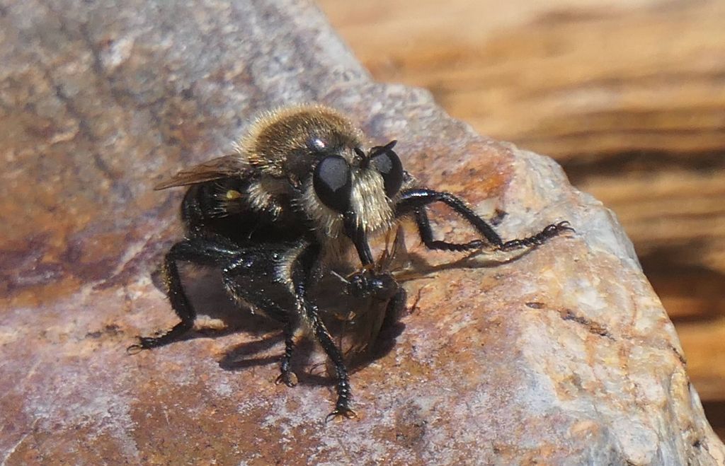
assassin fly eating an ant, had never seen that before
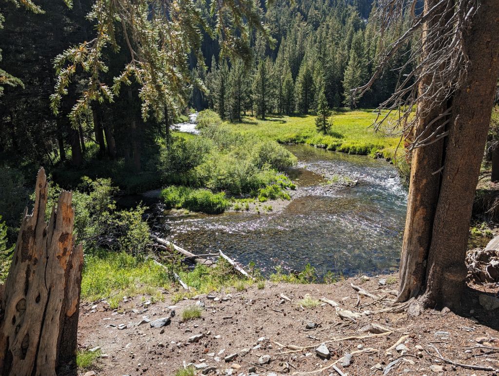
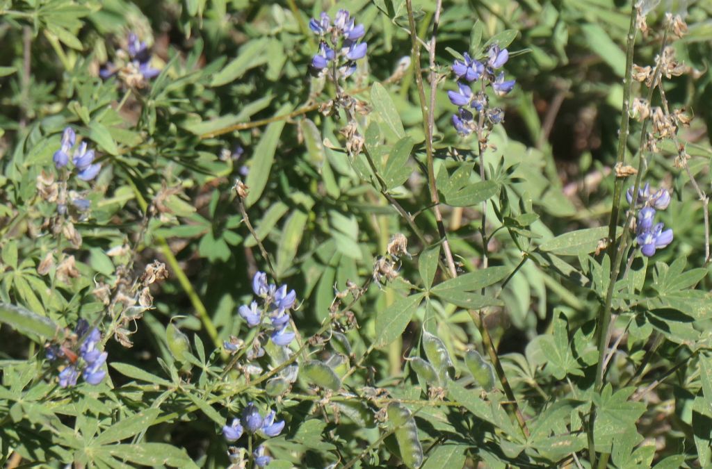
still nice flower in september!
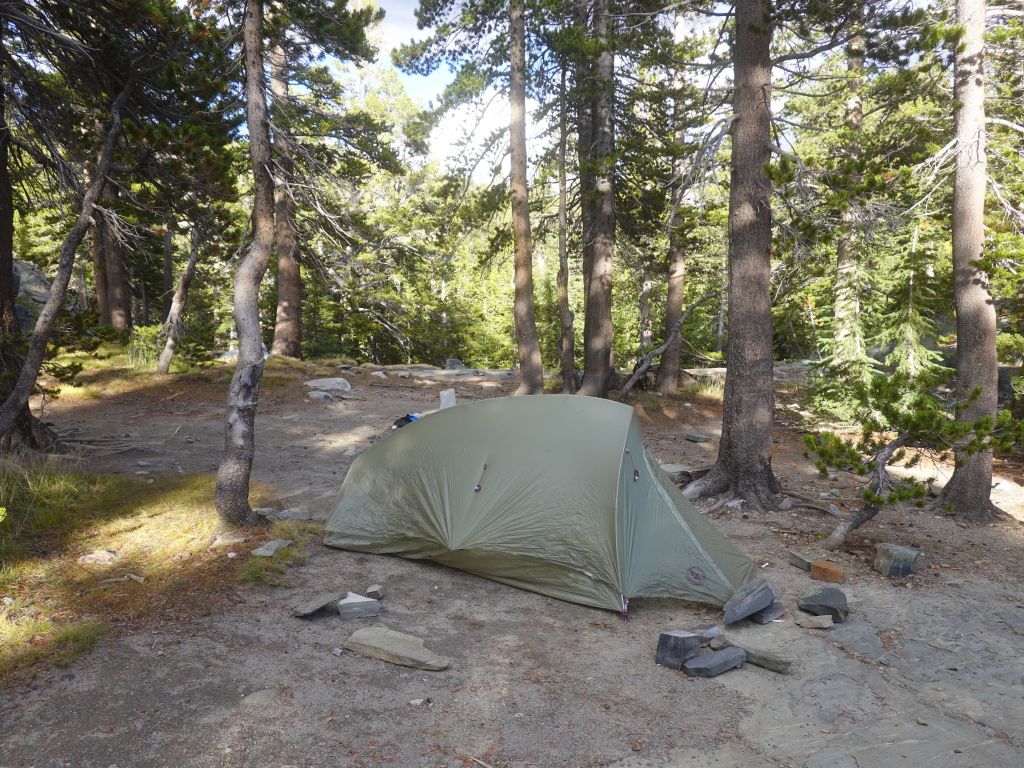
my lightweight tent
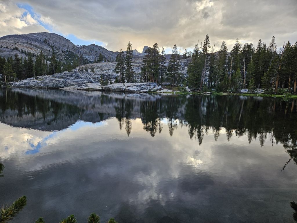
lake looks better around sunset
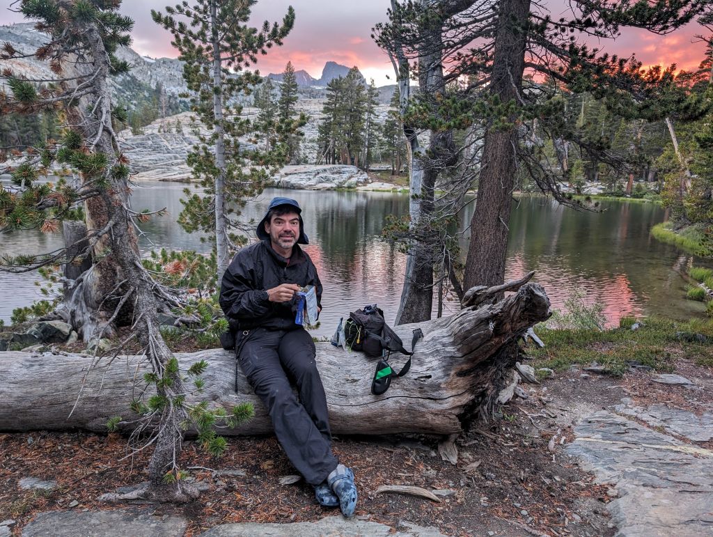
temperature dropped quickly + mosquitoes, so I put extra layers
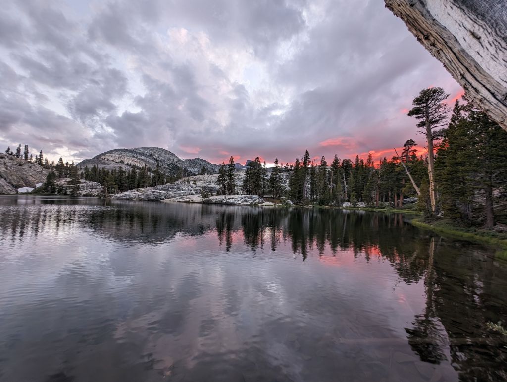
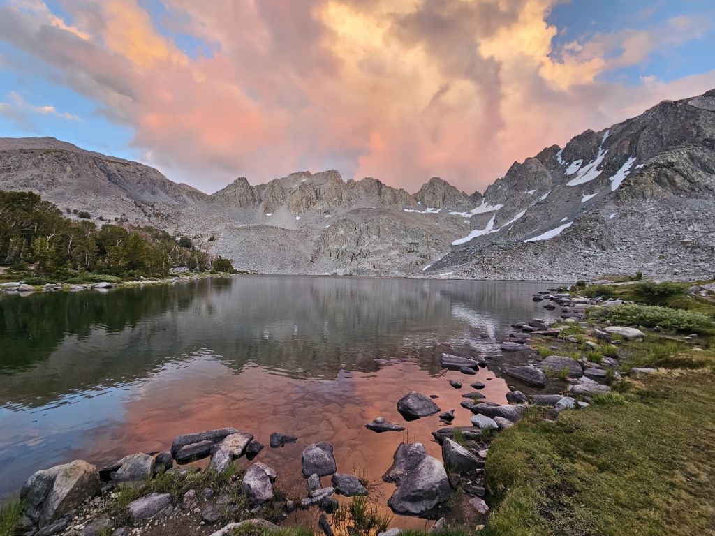
beautiful sunsets
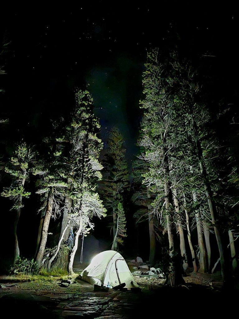
spent another hour hiding from mosquitoes and mostly staying warm in the tent and Arturo got this nice shot with his phone
Day 2: Badger Lakes to Rosalie Lake (9.7mi)
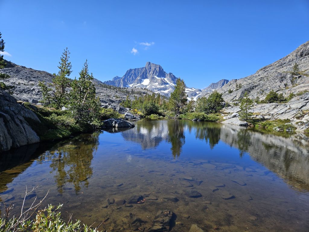
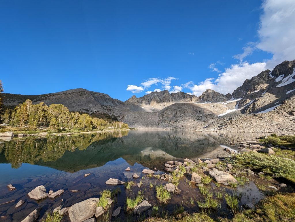
Next morning, I was up by 06:00 after a not so great night, I was cold all night due to a mistake in the sleeping bag I bought (rated for 30F but really it's more 45F and above). Nice mirror lake view before the wind got up:
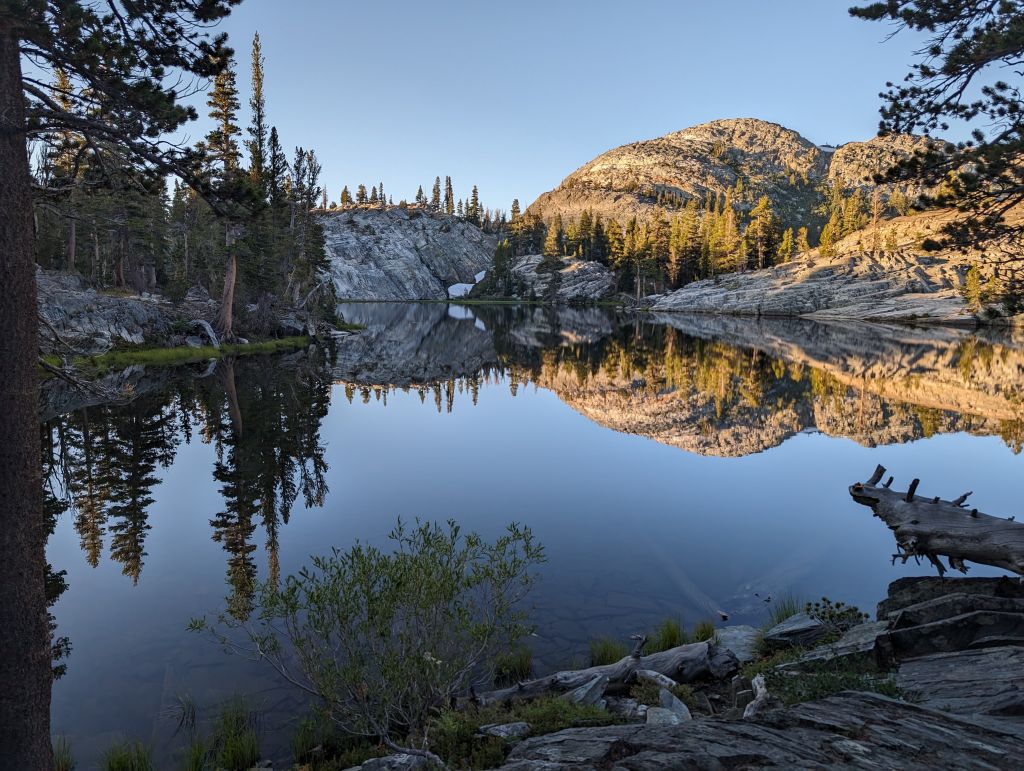
Google Pixel Pro
Samsung S23
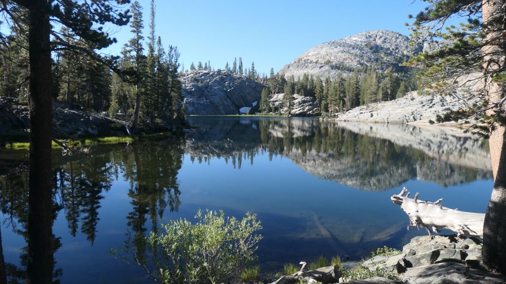
Panasonic ZS200
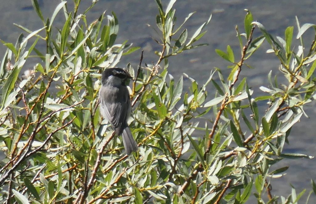
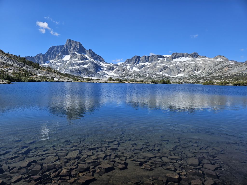
This trip was also a good reminder that for day pictures, phones (Samsung and Google Pixel) end up doing much better HDR, and other AI magic than my now old and yet expensive, cameras. What a shame for Sony and Panasonic, but this is progress...
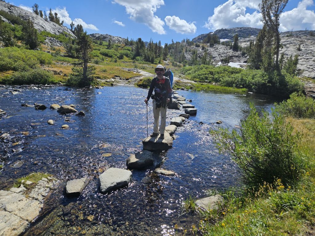
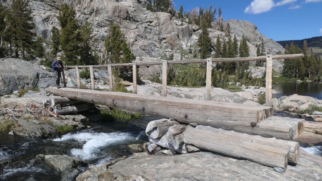
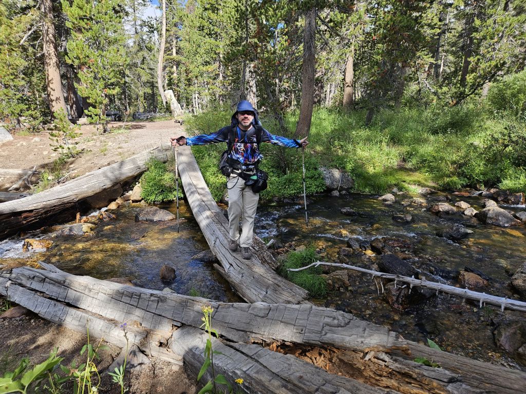
stream crossings were not bad
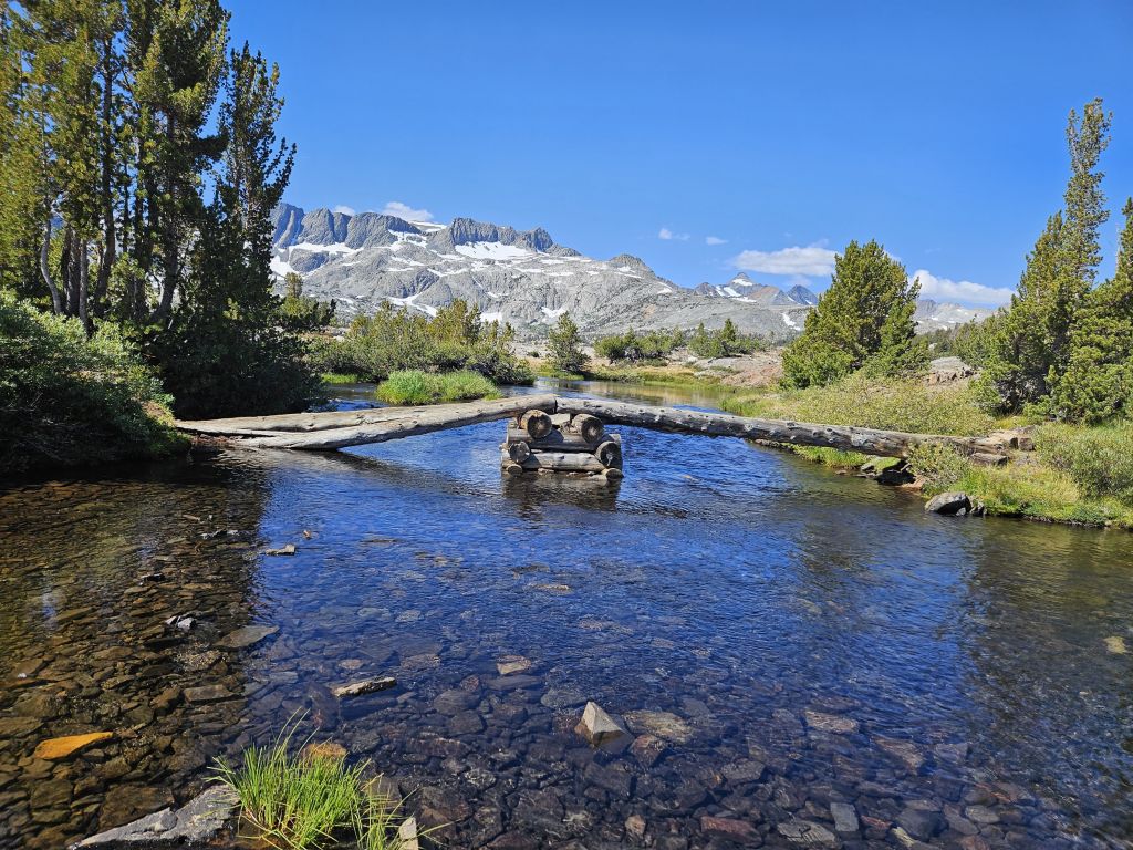
a lot of log briges did collapse under the last winter's amazing amounts of snow
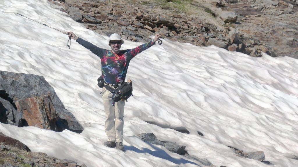
speaking of snow, there was plenty left that hadn't melted yet
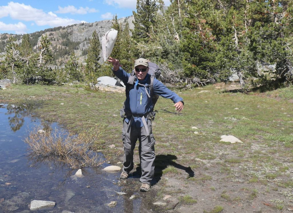
wait, why is Arturo throwing ice/snow at me again? :)
I'm not sure how, bur Arturo managed to talk me into going in a lake, because "it wouldn't be sooo cold". Well, it was!
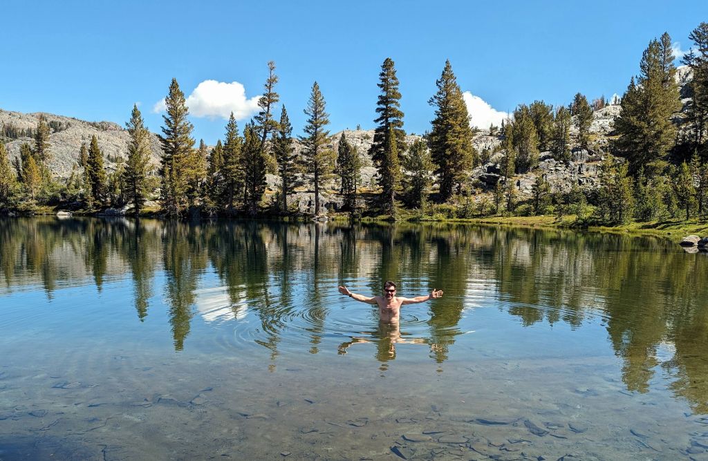
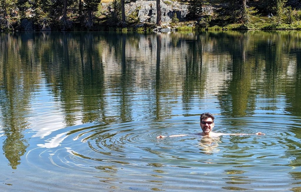
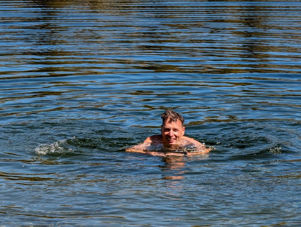
He did better in the water than I did
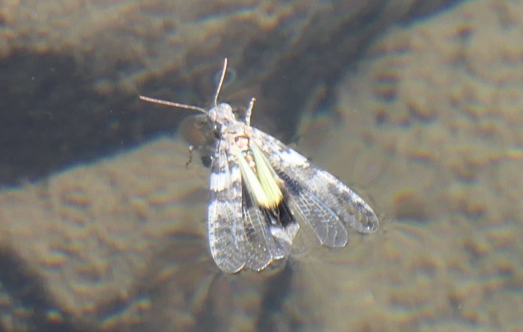
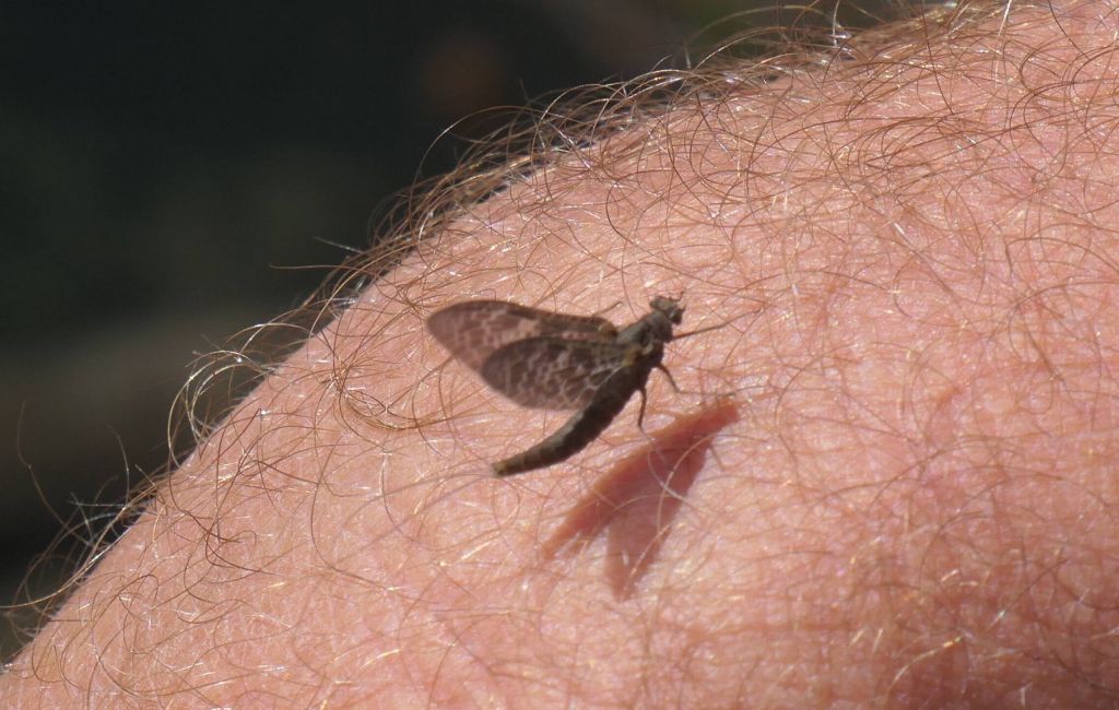
Got a few shots of bugs on the lake rocks:
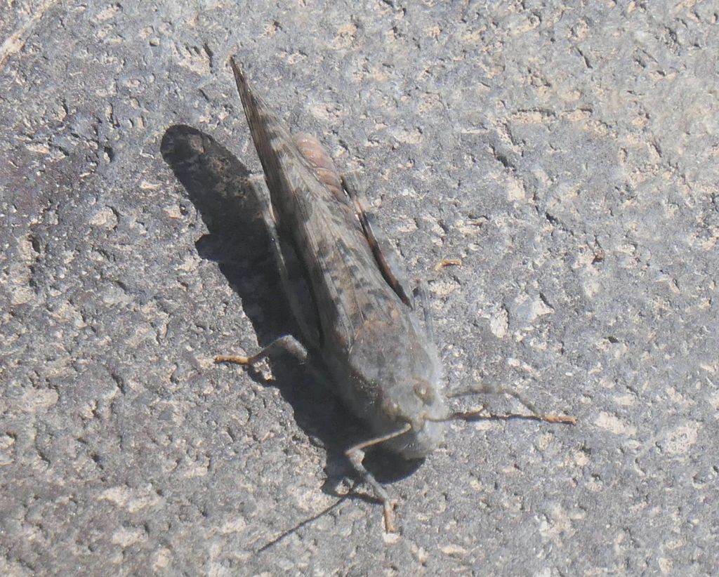
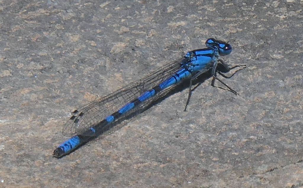
I always love the blue dragonflies
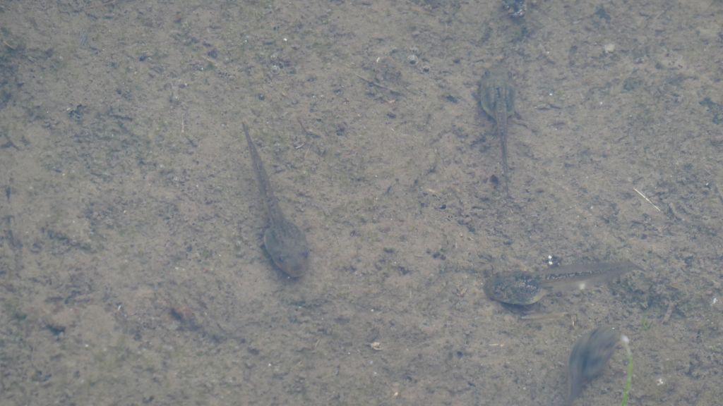
tad poles
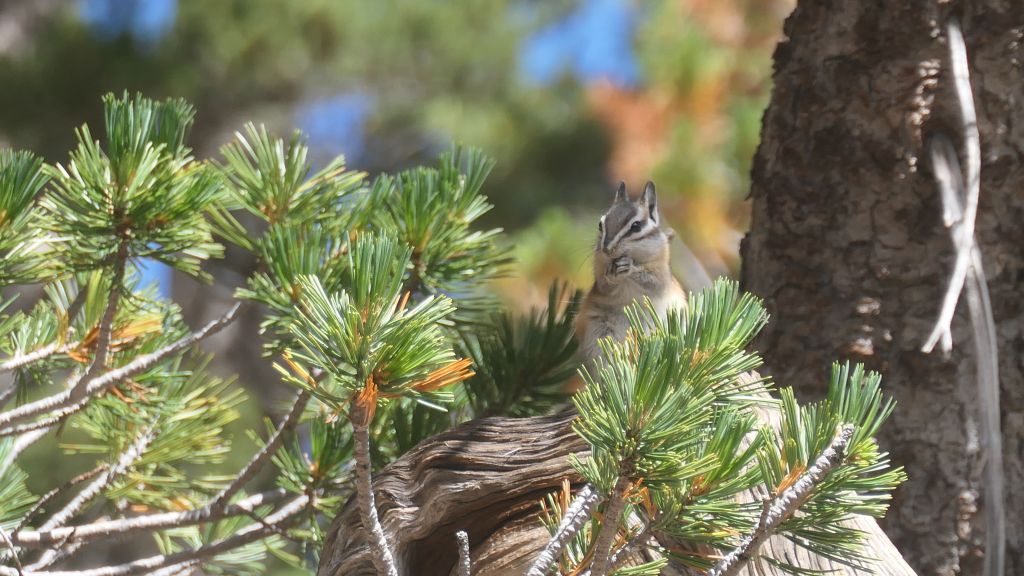
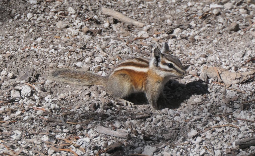
and cute chipmunks, small squirrels with ADHD :)
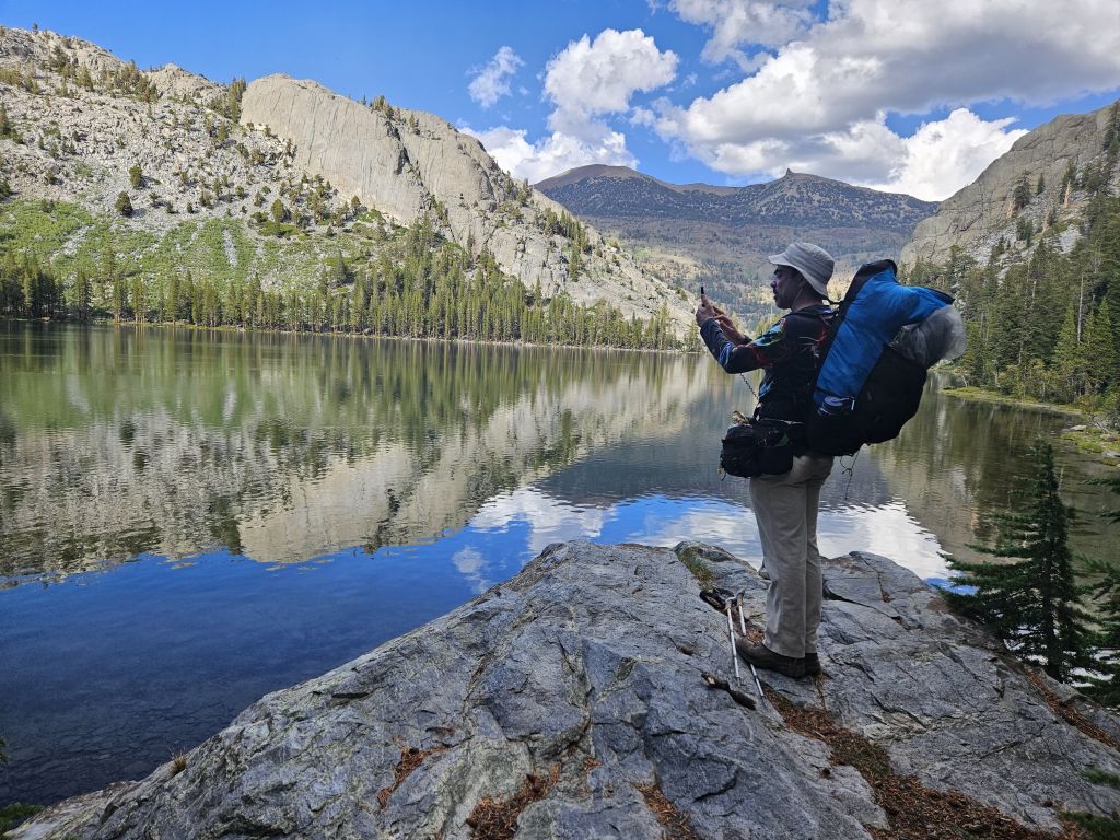
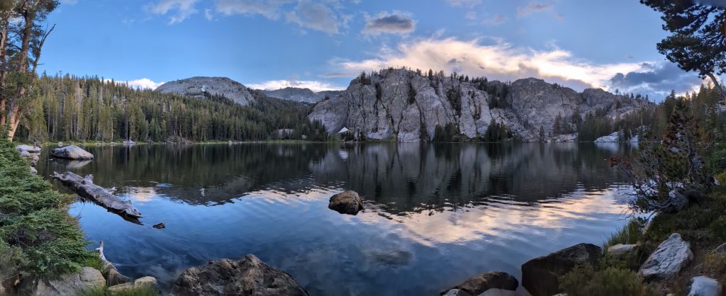
More nice views:
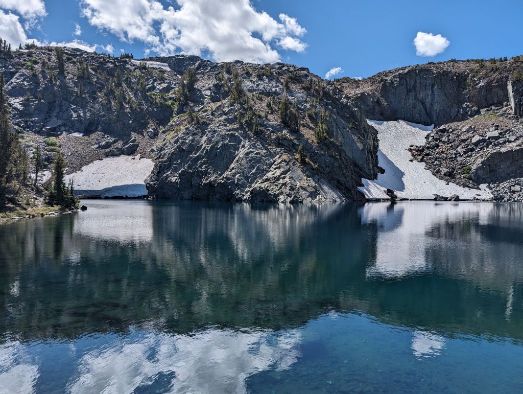
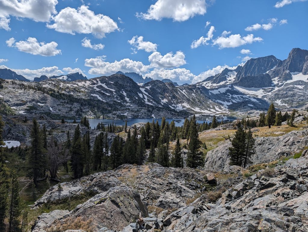
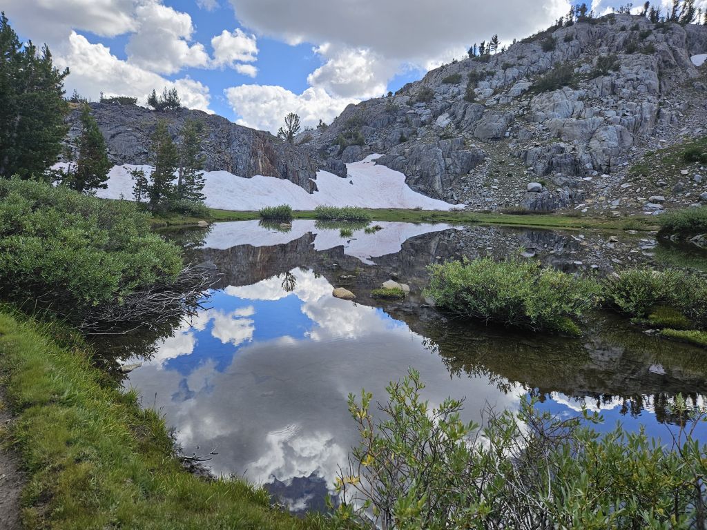
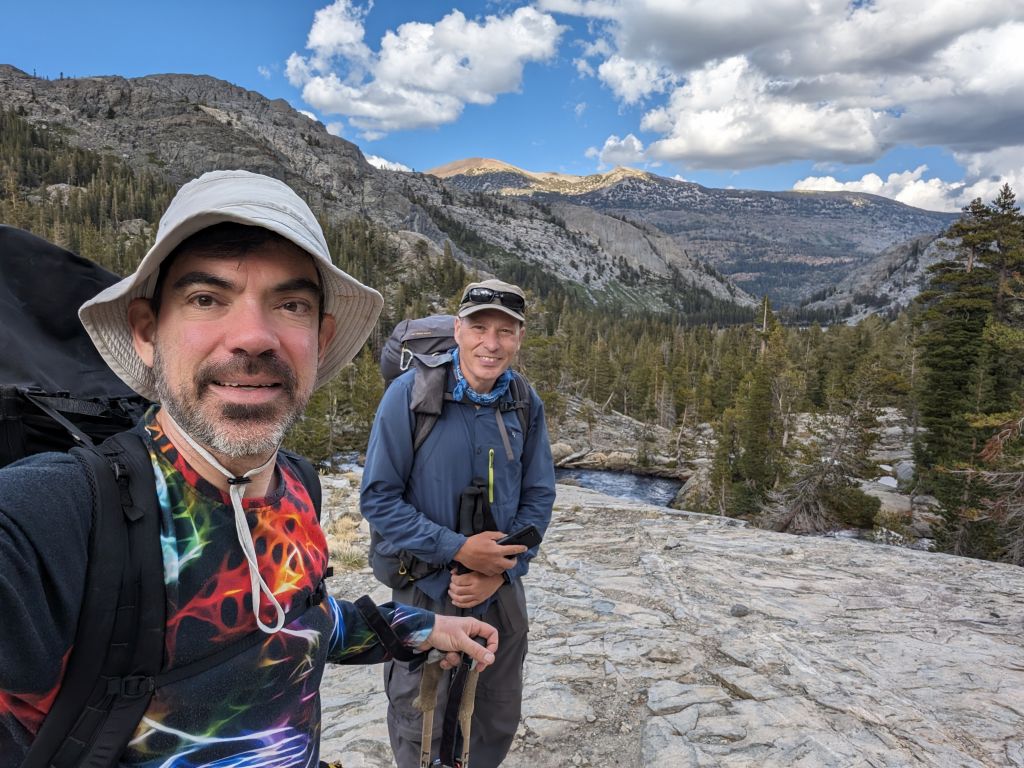
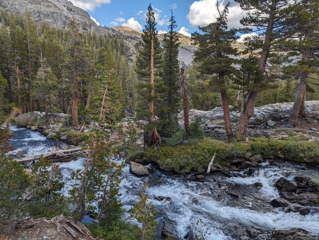
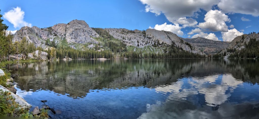
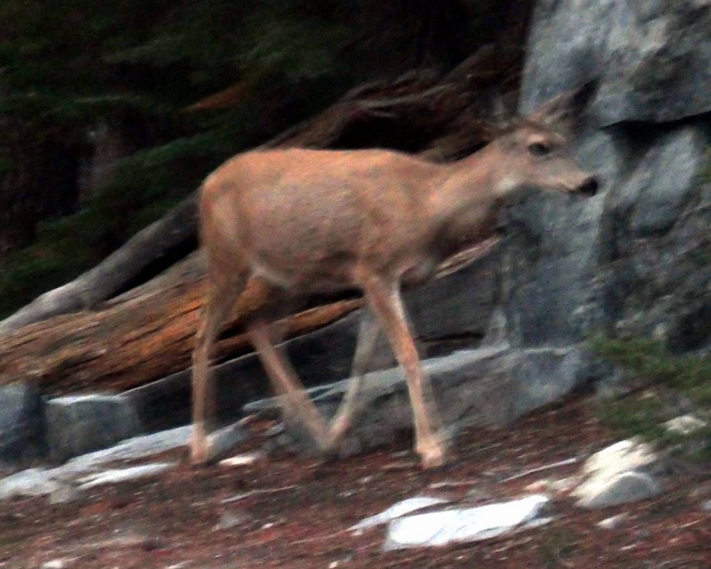
We didn't get much bigger wildlife, but one deer briefly came to see us at night:
it was cold to get out for pictures at night, but got one shot with my phone
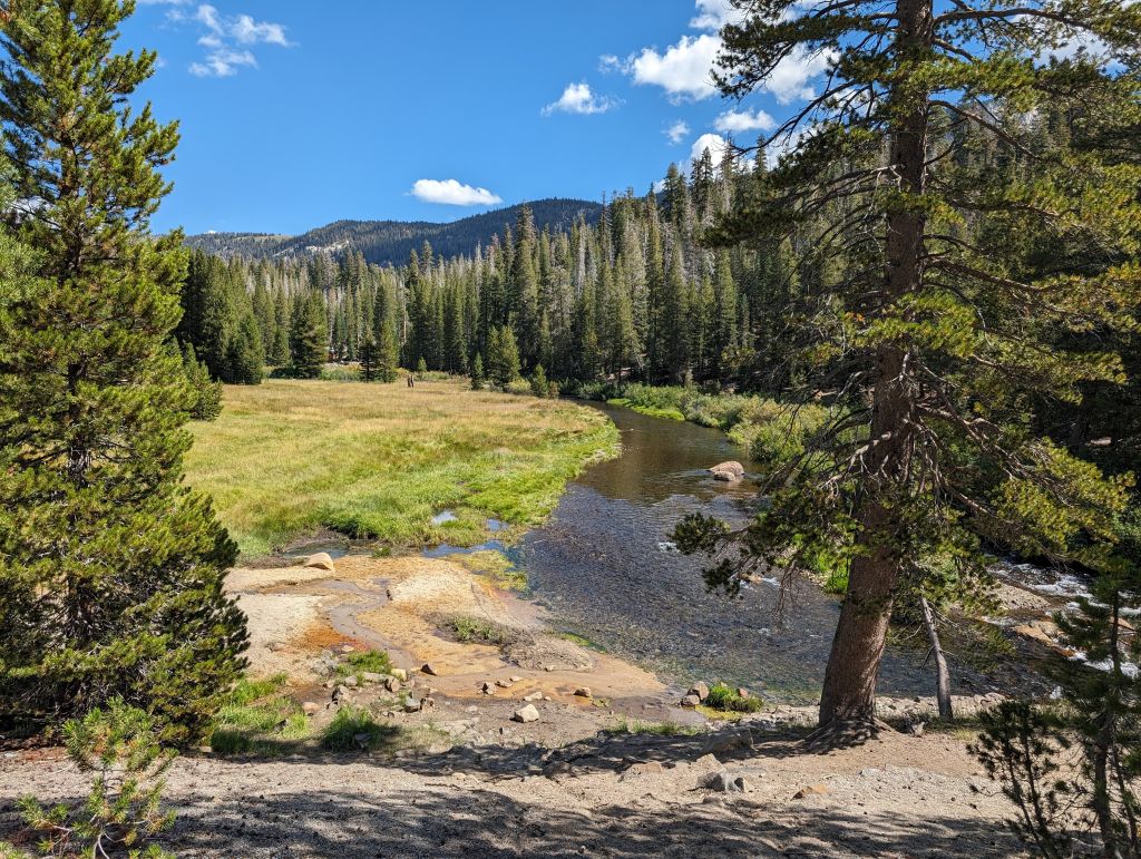
Day 3: Rosalie Lake to Crater Creek (through Devil's Postpile and Reds Meadow)(13.4mi)
Next morning we got up a bit earlier for the longer day and stops at red meadows and devil's postpile. It was still cold, but nice views:
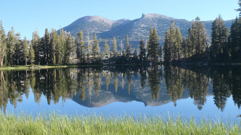
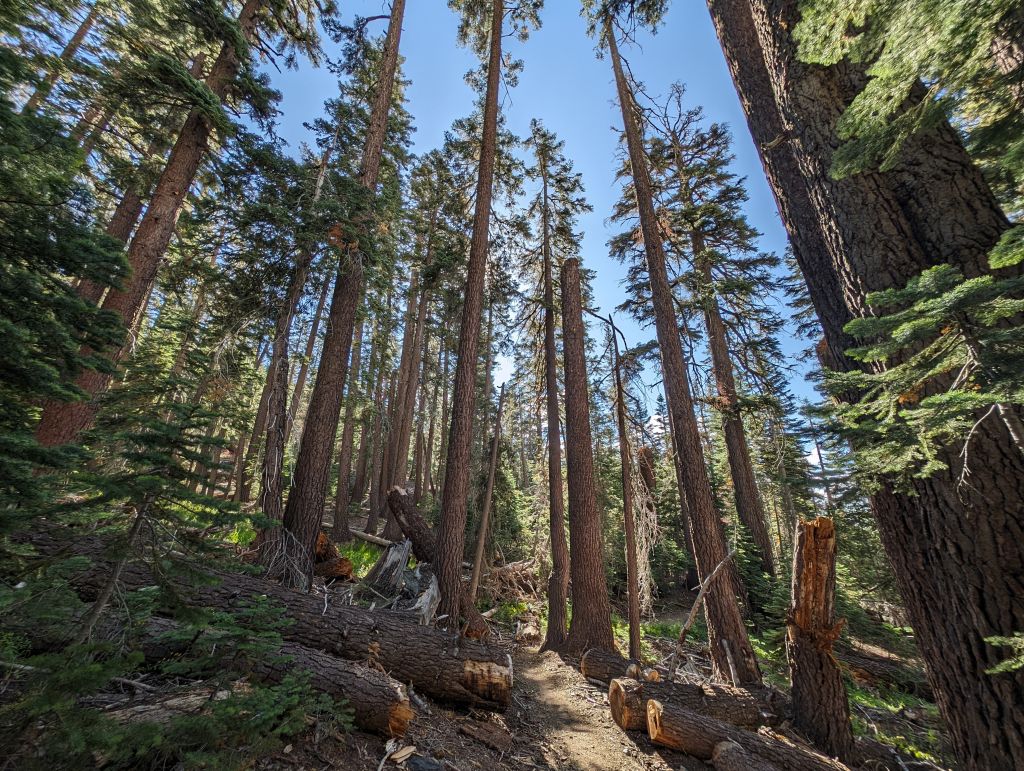
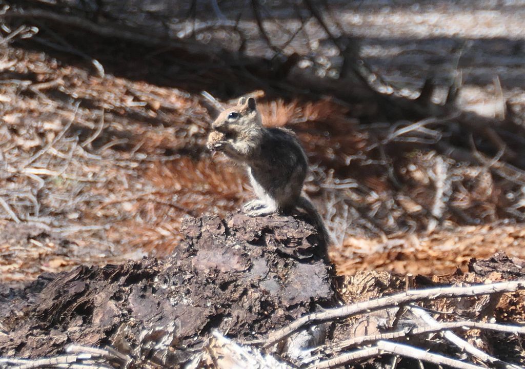
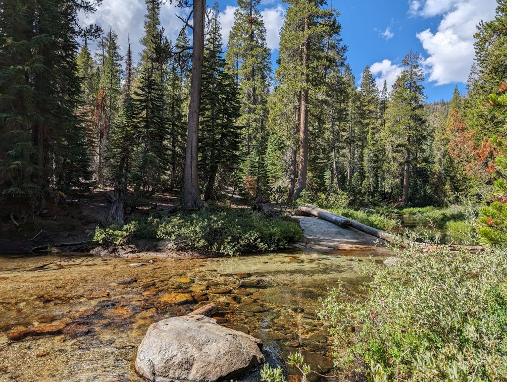
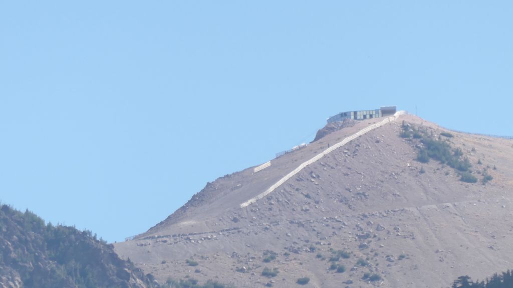
Normally you have no cell during a backpacking trip, but during most of this trip, we could see the Mammoth Gondola top, which did give slow but workable signal:
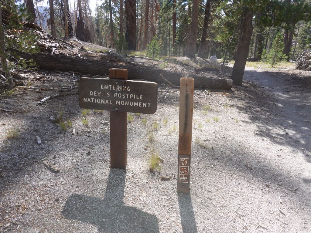
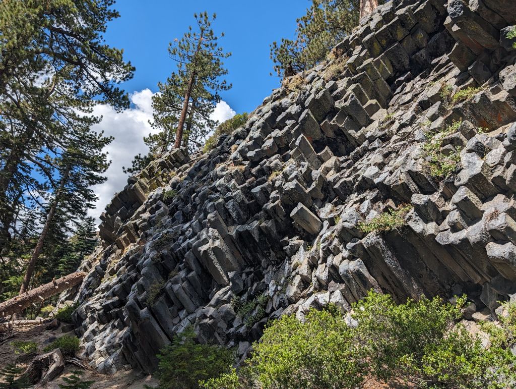
I pointed out to Arturo that we couldn't hike in the area and not see Devil's Postpile :)
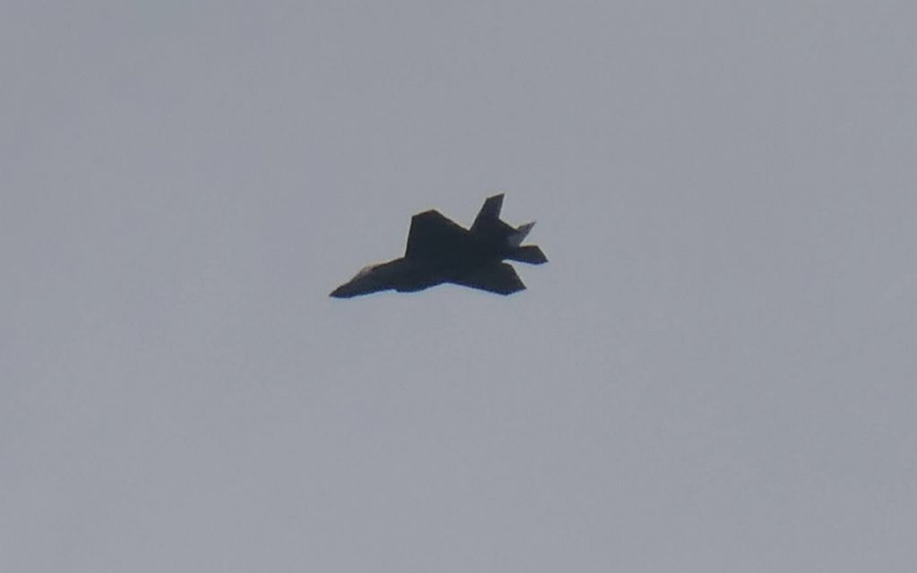
from the tail, it looks like an F35 more than an F22
hello!
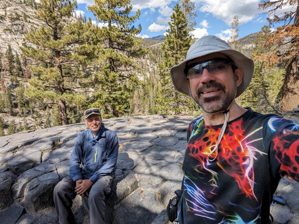
early lunch break on the top of the geological formation
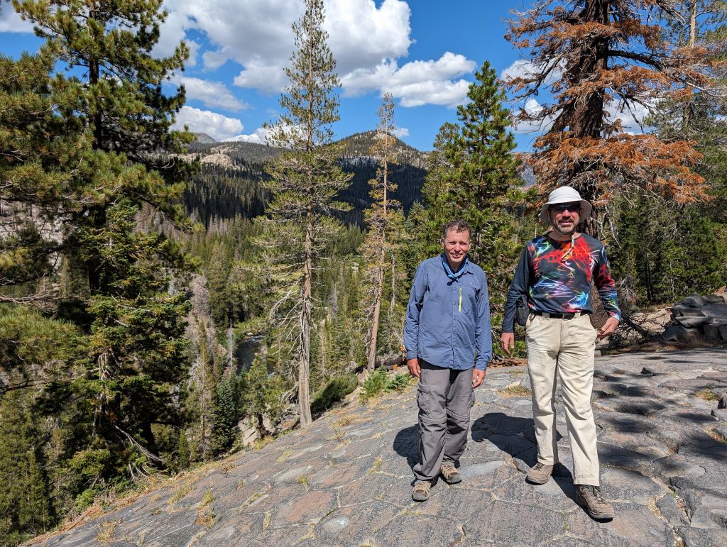
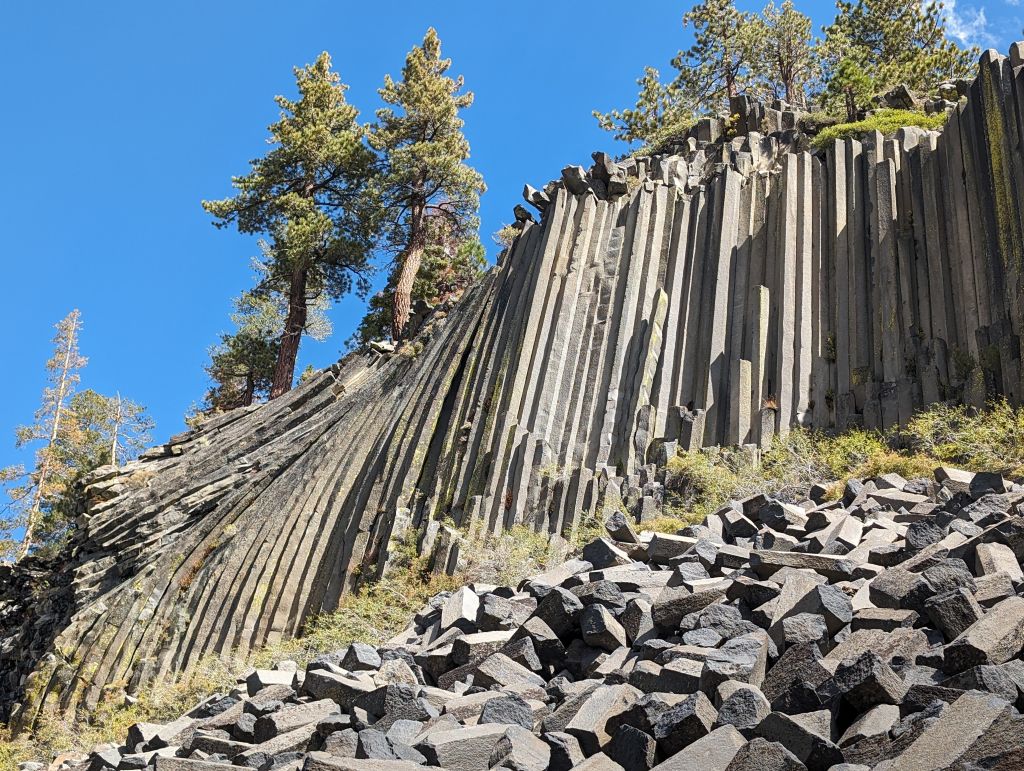
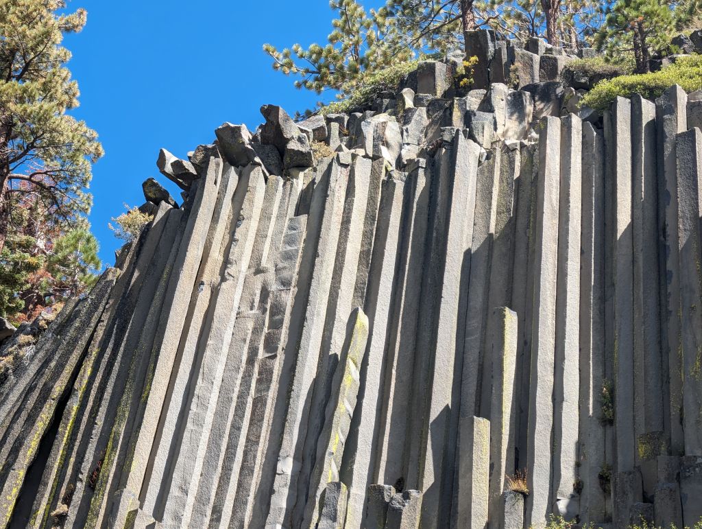
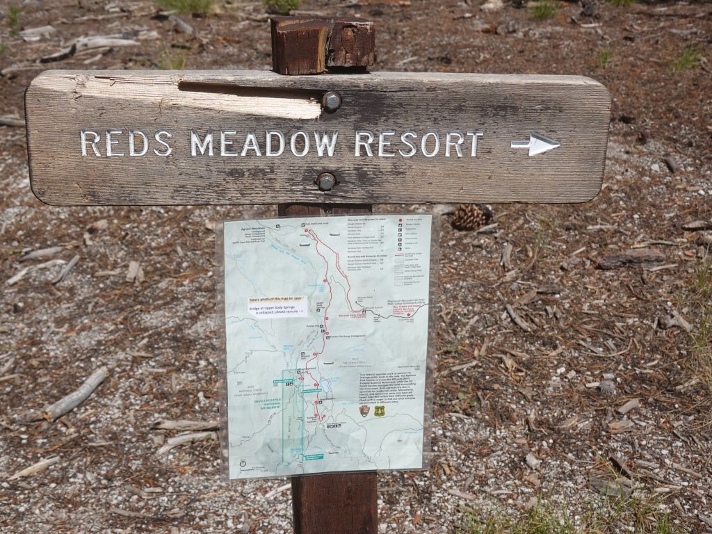
From there, I suggested a stop at the Reds Meadow, a JMT/PCT resupply point, because why not? :)
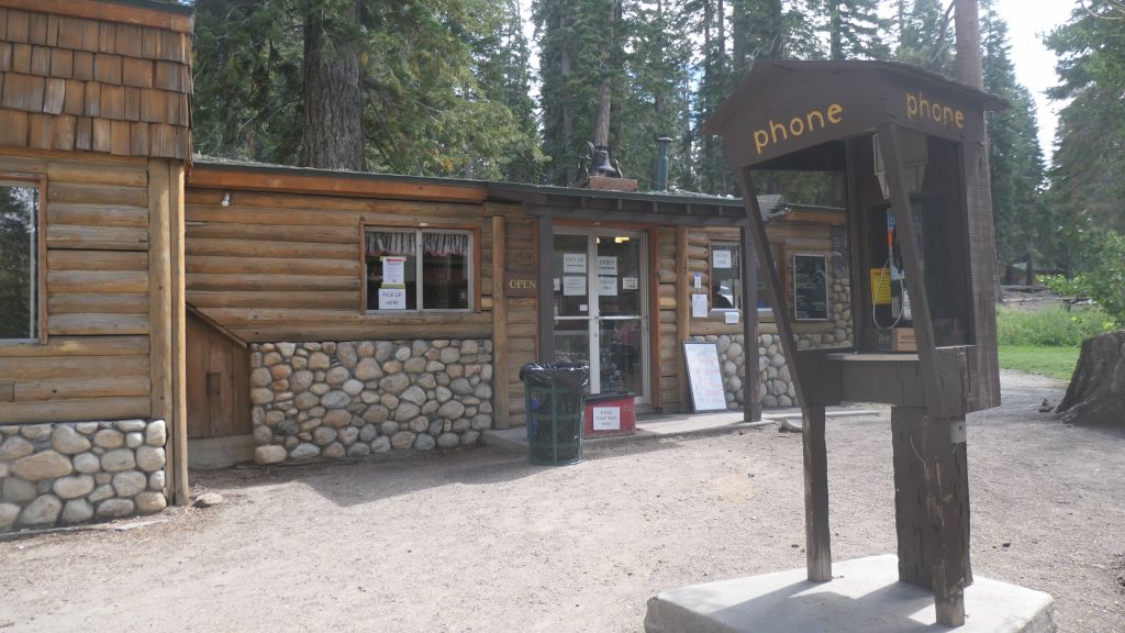
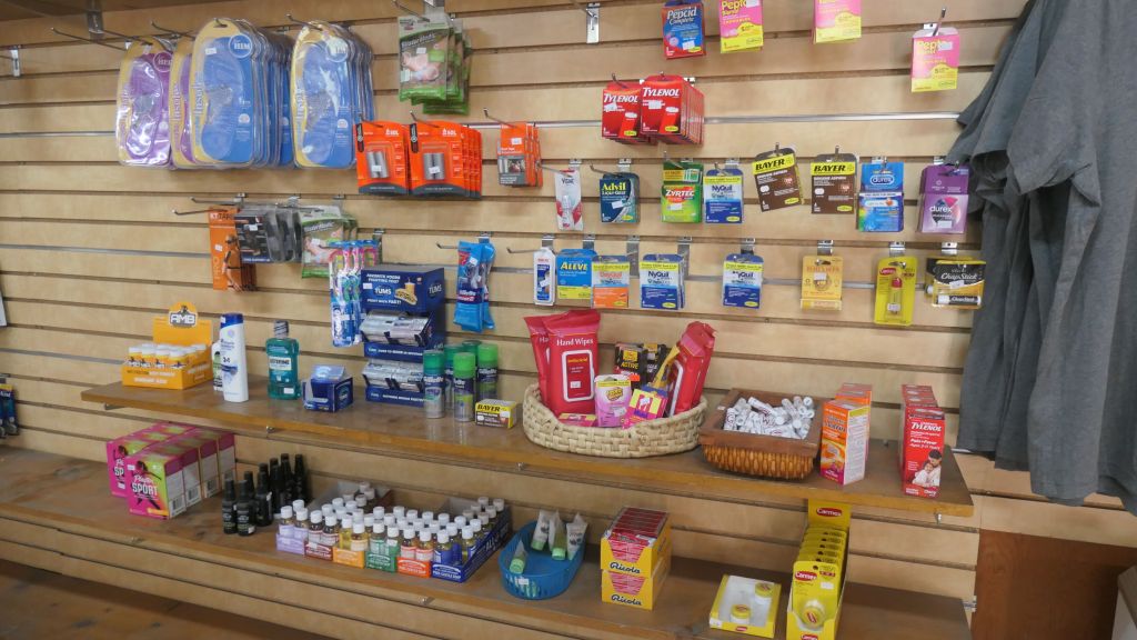
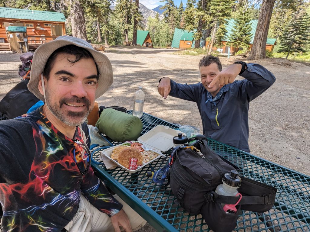
so I had a slightly better lunch ;)
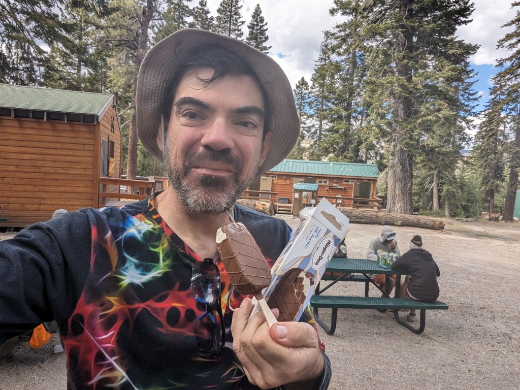
they were closing the next day, ice cream half off, everything must go! :)
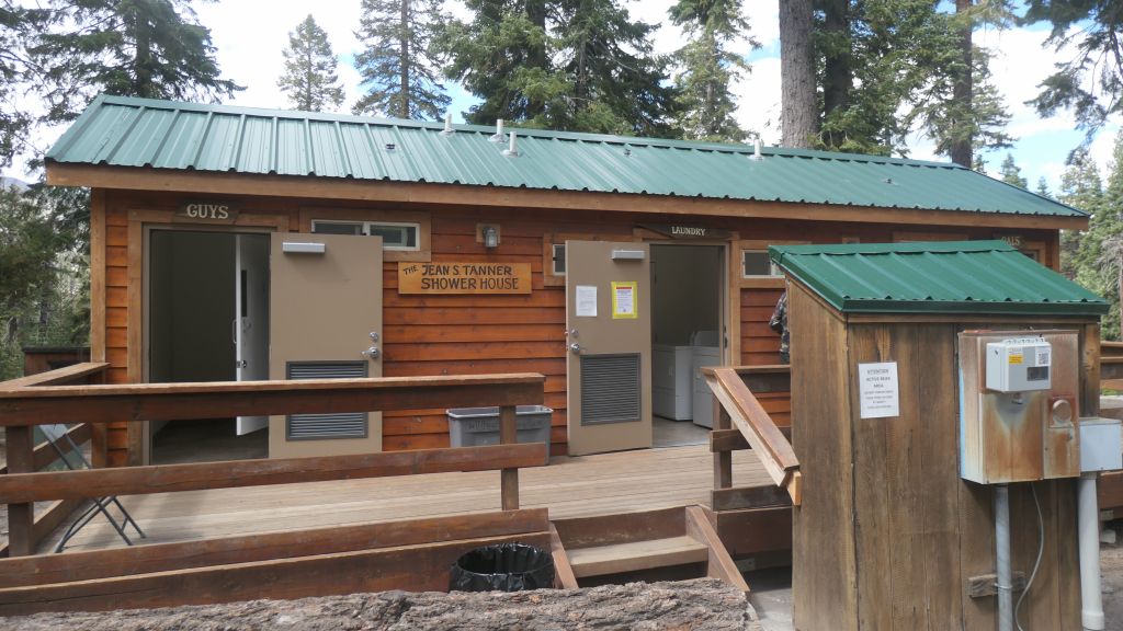
After a nice break, we continued the hike to do almost 14 miles:
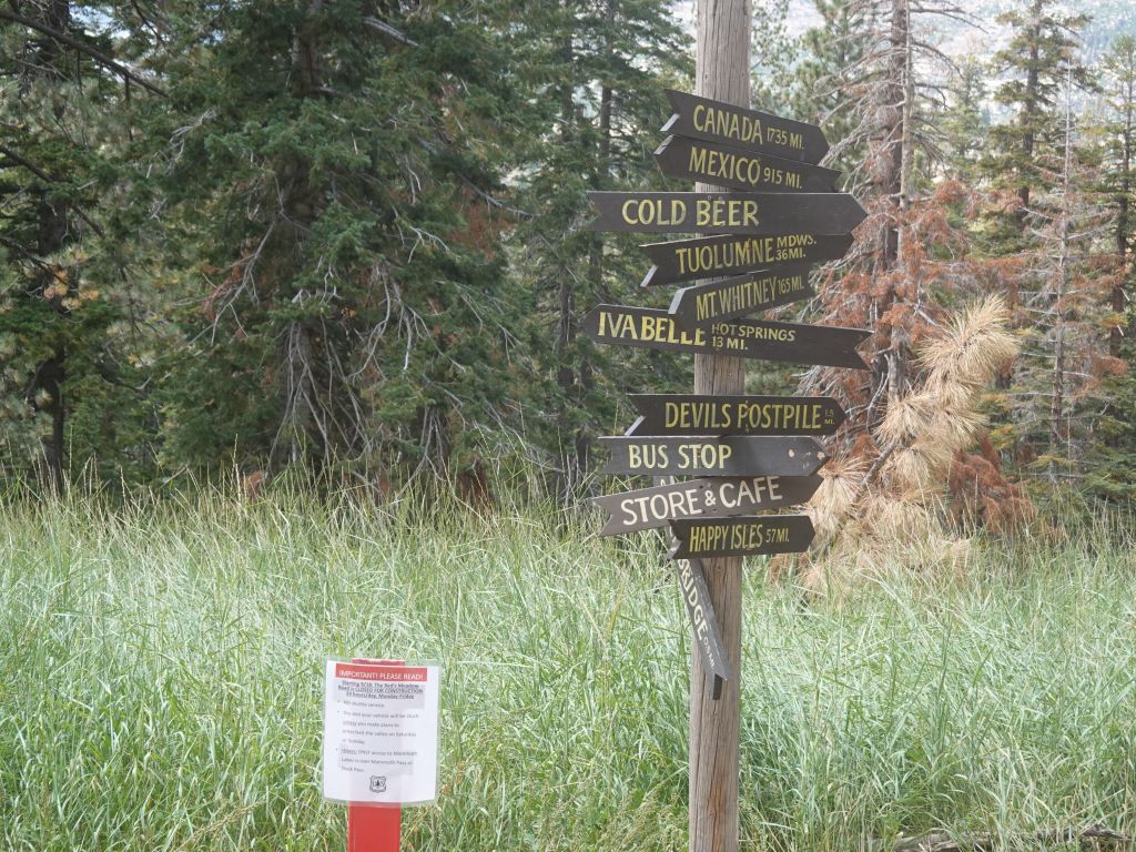
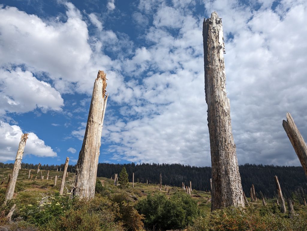
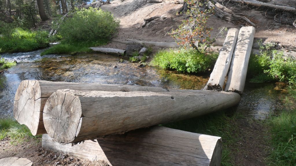
another bridge damaged by snow
Eventually made it to a creek crossing with godd campsite spaces:
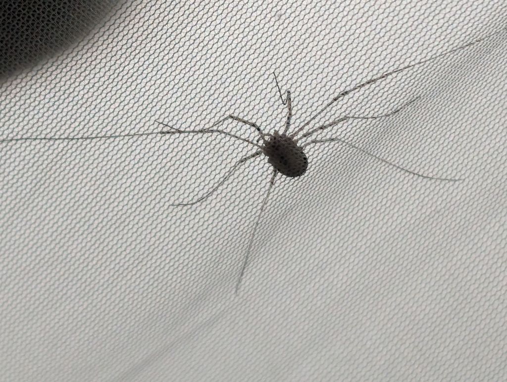
spider came to say hi
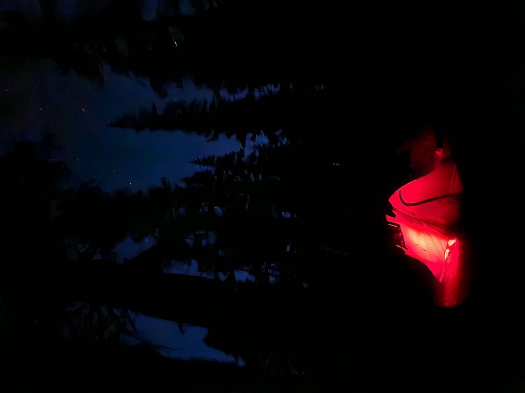
another nice shot of me hiding in my tent, from Arturo
Day 4: Crater Creek to Pika Lake (11.5mi)
Day 4 had a lot of climbing but wasn't long, it was an easy day.
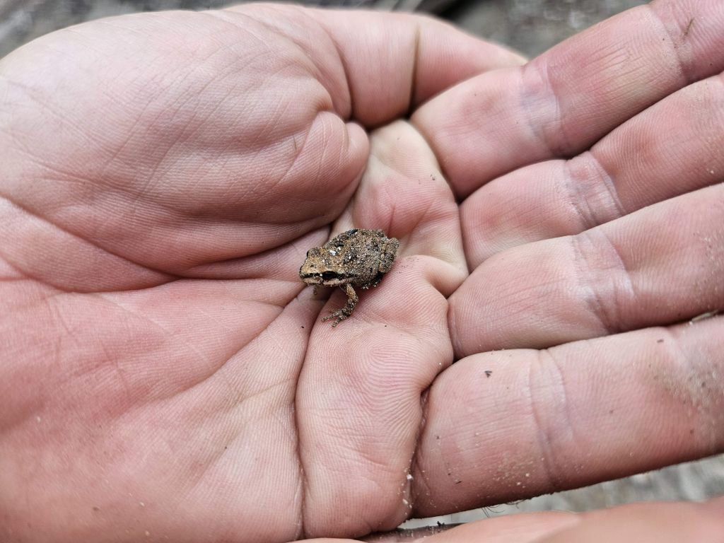
found this little guy
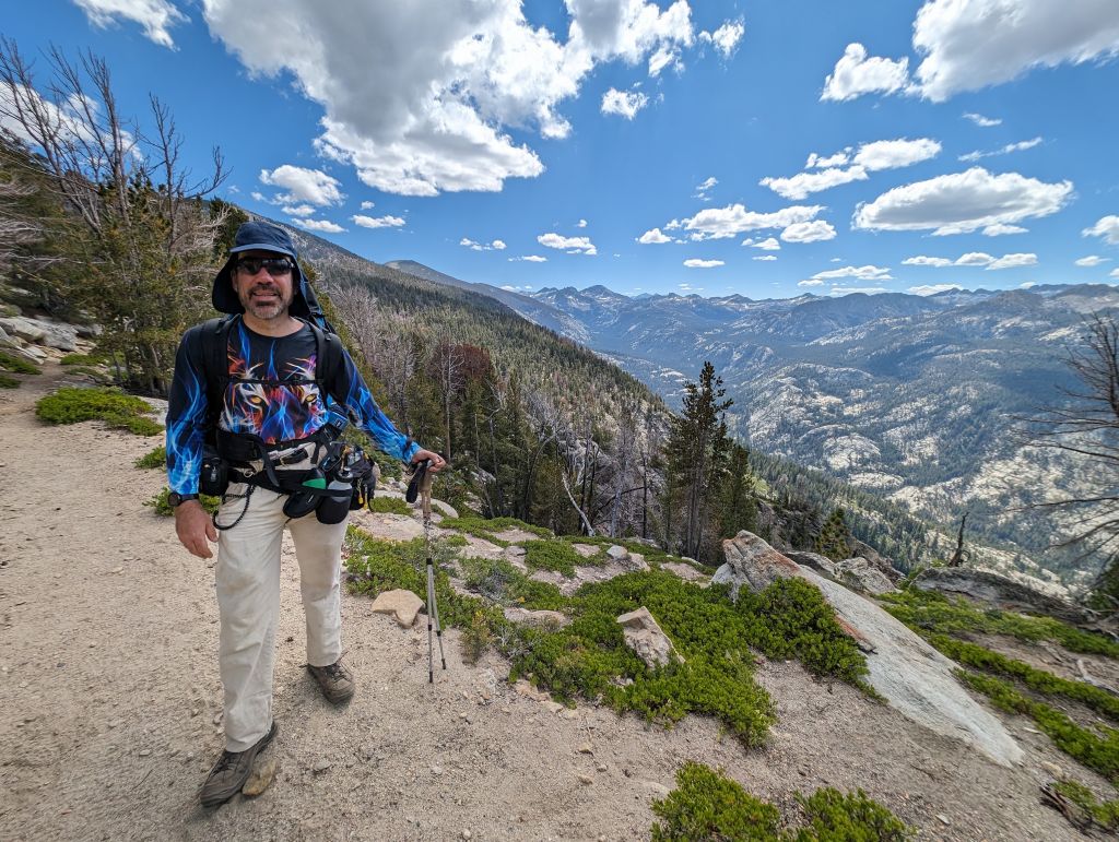
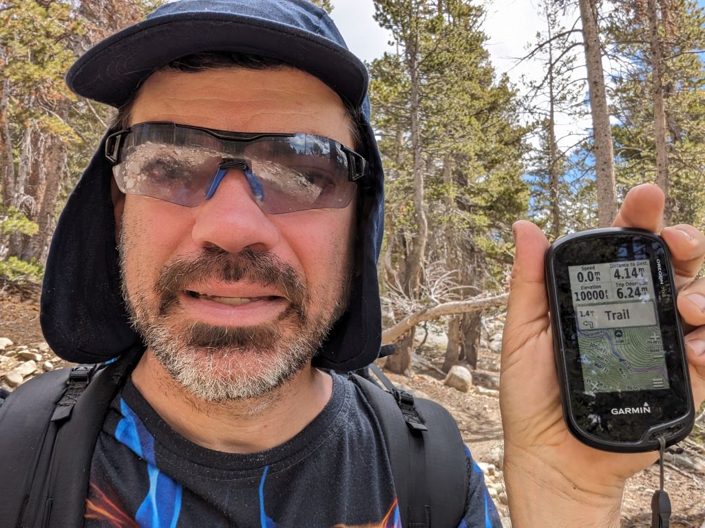
crossed 10,000ft a few times during the day, not a terrible climb though
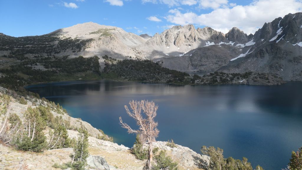
Duck Lake
Yes, it's pretty! :)
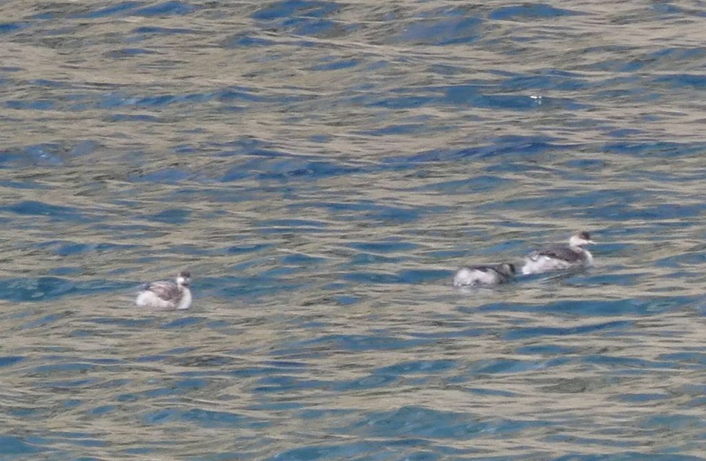
and it had ducks for real!
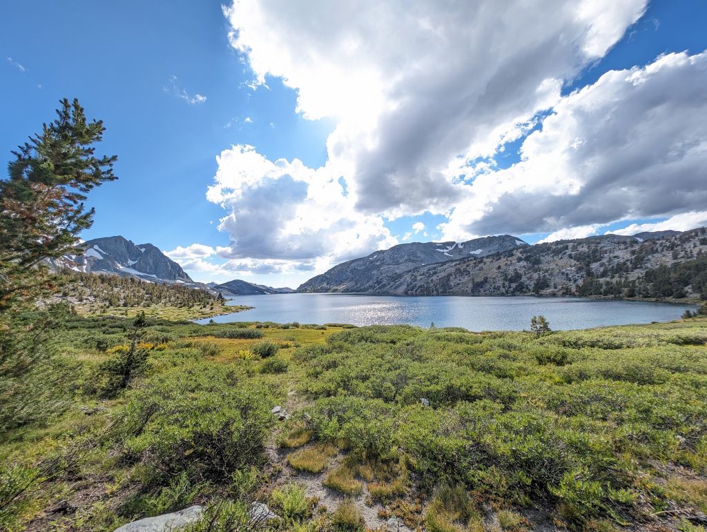
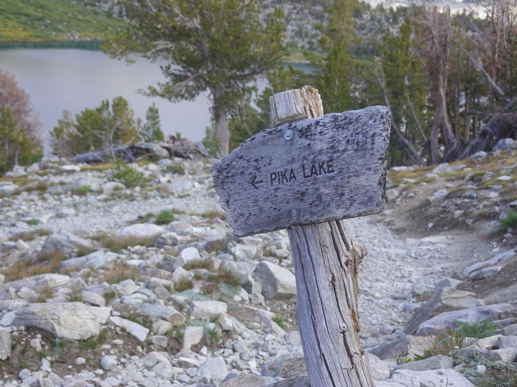
We did opt for Pika Lake, because it would have Pikas, right? Sadly we didn't get lucky and didn't see any.

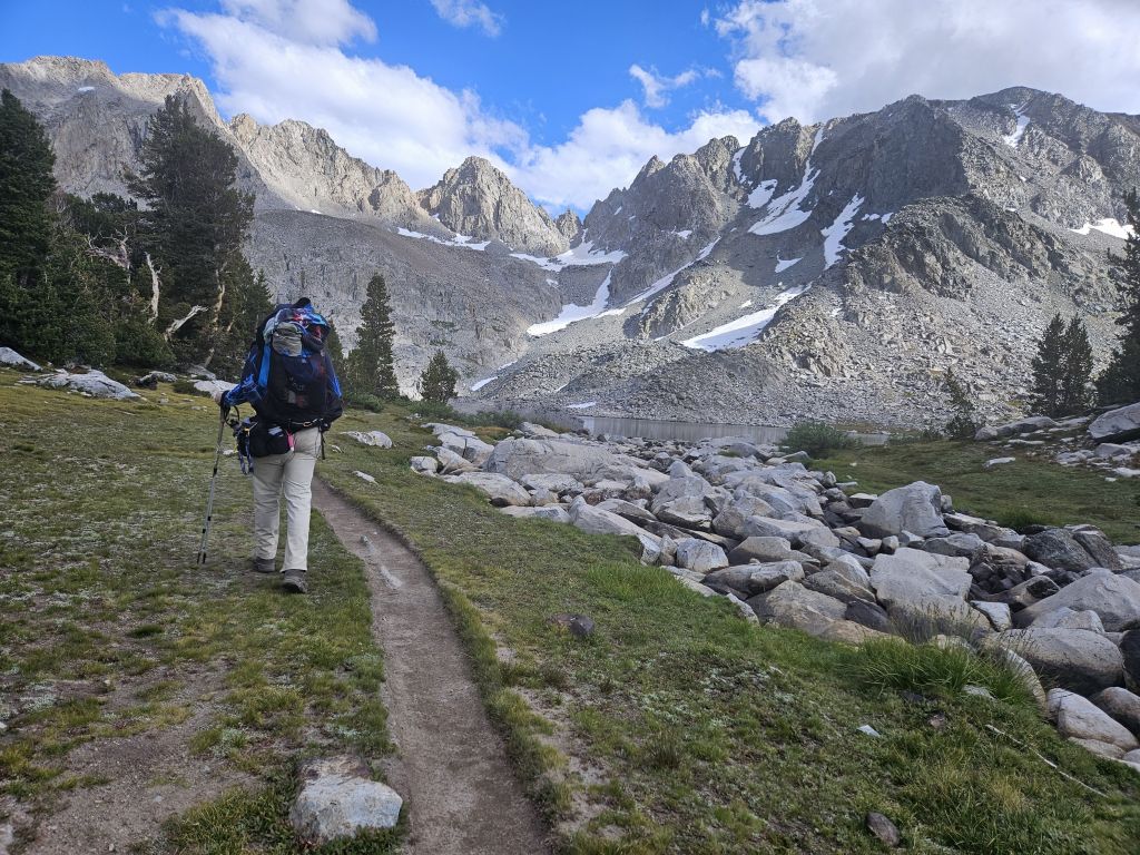
on to Pika Lake, a bit higher (over 10kft)
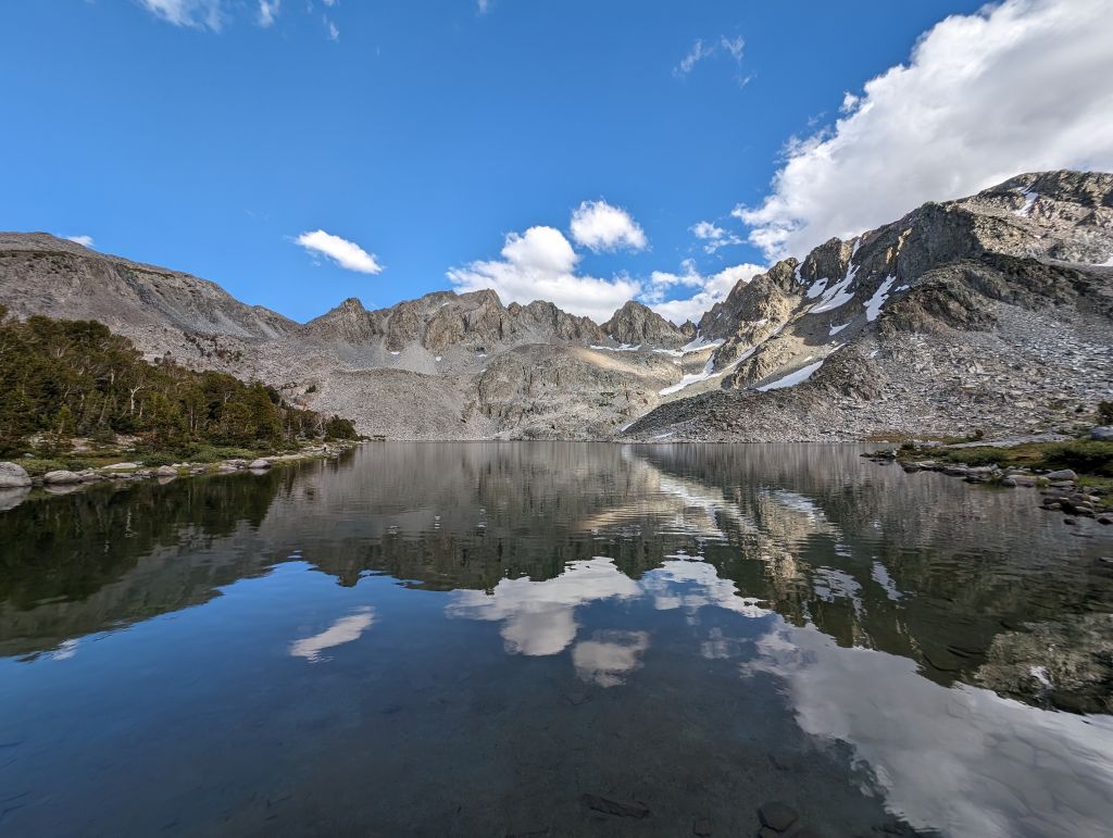
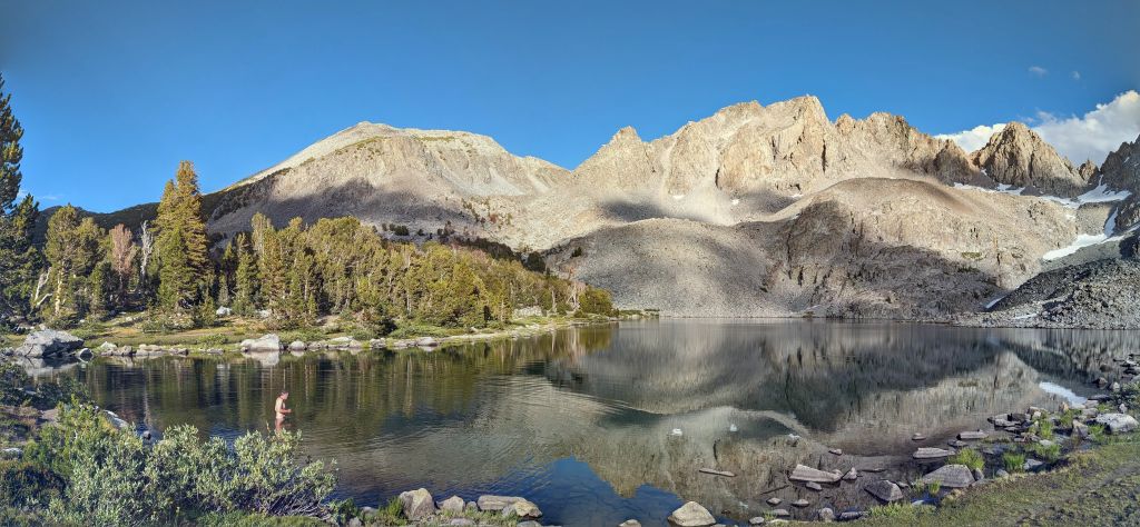
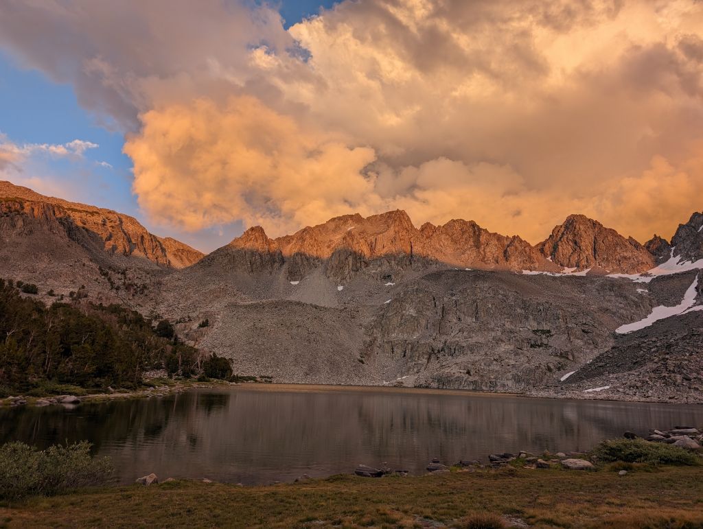
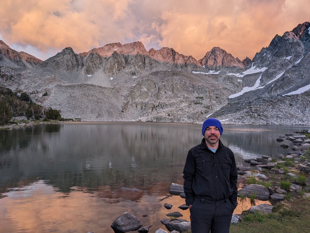
due to the altitude, it got cold quickly, thankfully no mosquitoes at that altitude
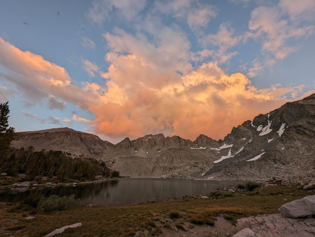
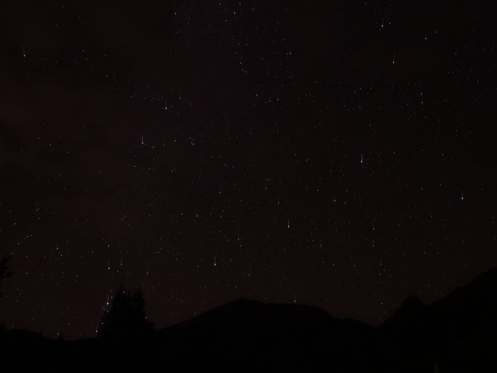
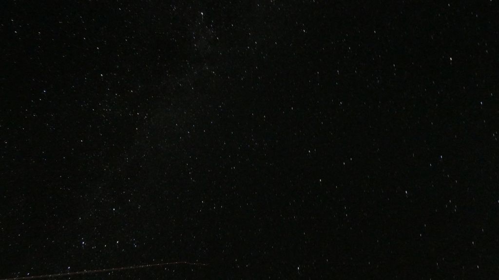
I tried a few night pictures:
Day 5: Pika Lake to Duck Lake Pass (5.3mi)
Despite sleeping with all my clothes (2 pants, 4 pairs of socks, 4 top layers, hat, and gloves), it was still cold. My sleeping bag didn't do the job, sadly. The next morning I also found out why there were no mosquitoes: it was freezing at night, which does kill them:
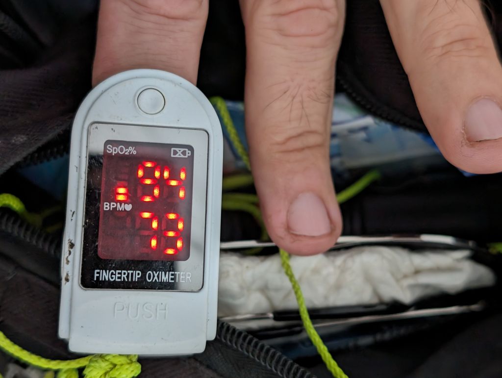
by the 5th day, my body mostly had gotten used to the altitude and my SPO2 had gone back up a few points
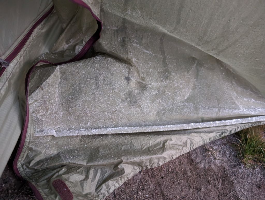
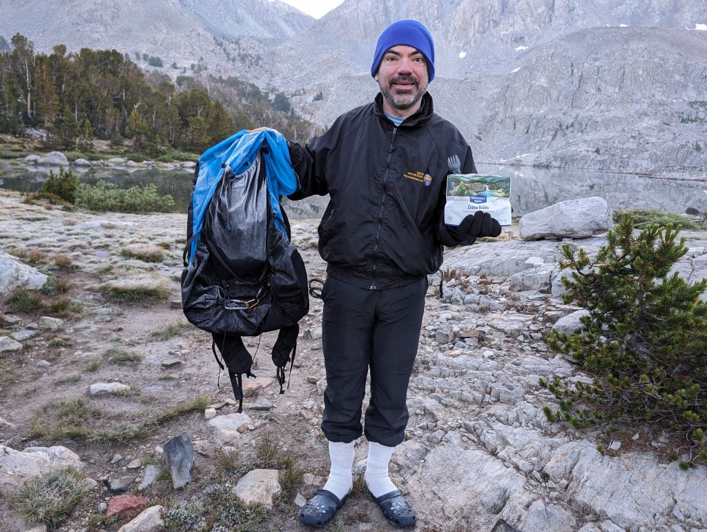
sure enough, everything was covered by frost the next morning
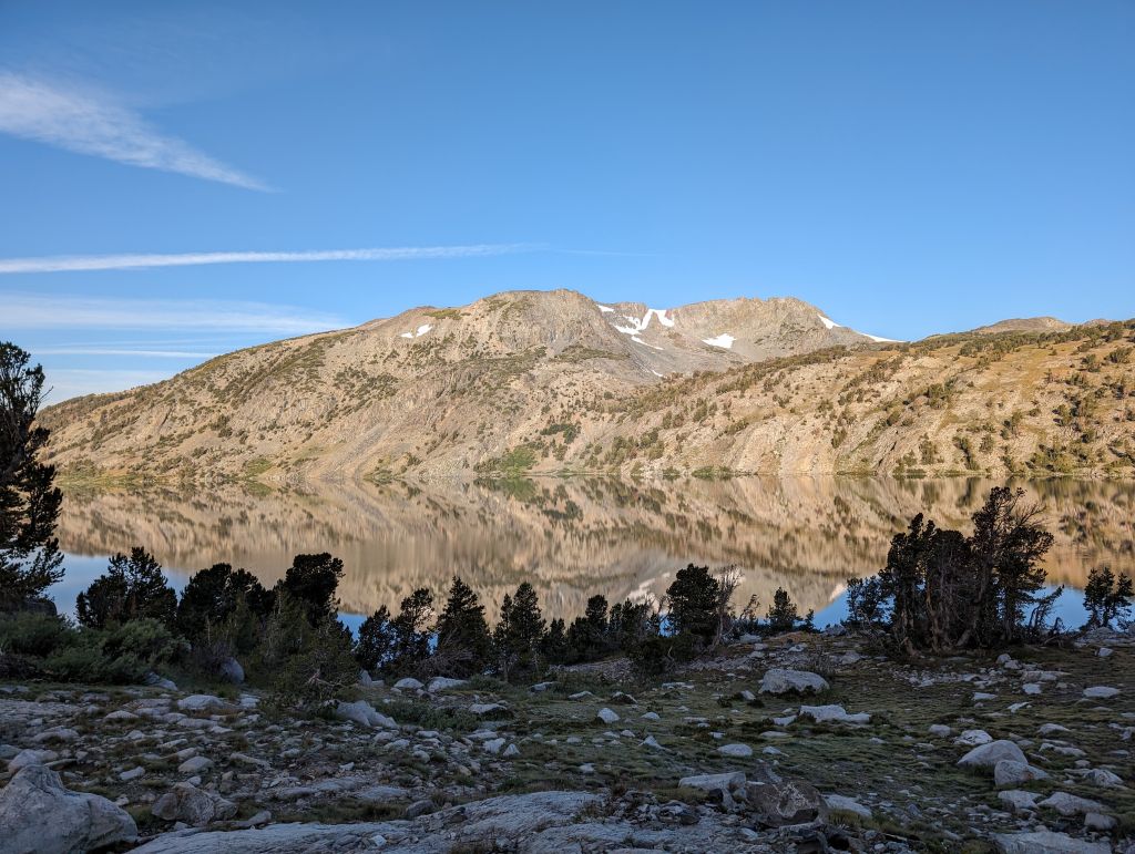
on the plus side the lack of wind gave nice mirror shots
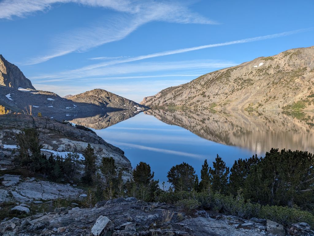
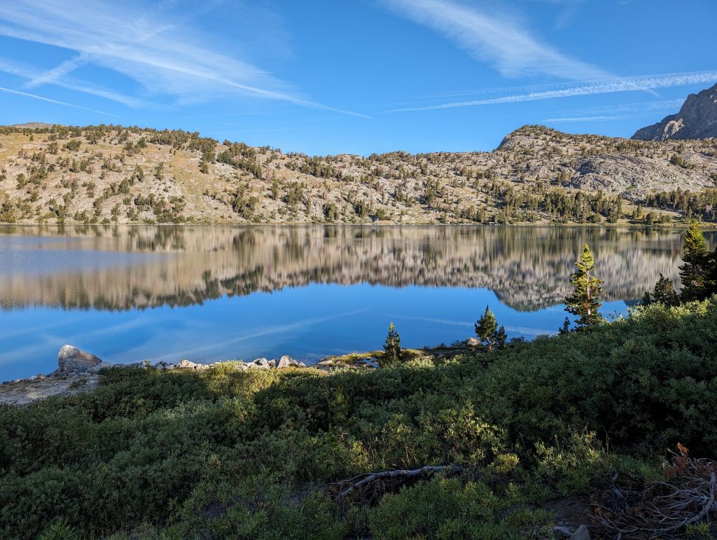
We then walked up to the pass exit, got some cell signal to order a taxi to pick us up, and we walked down in under 2H:
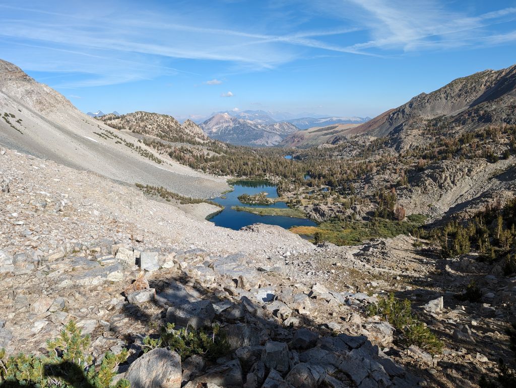
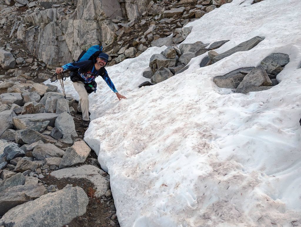
yes, still snow
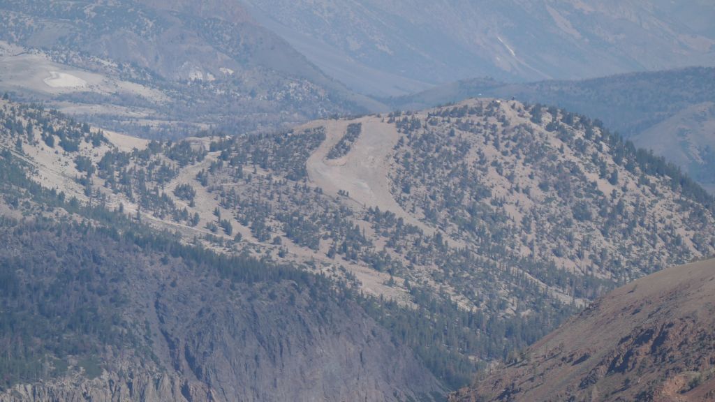
some trails from Mammoth
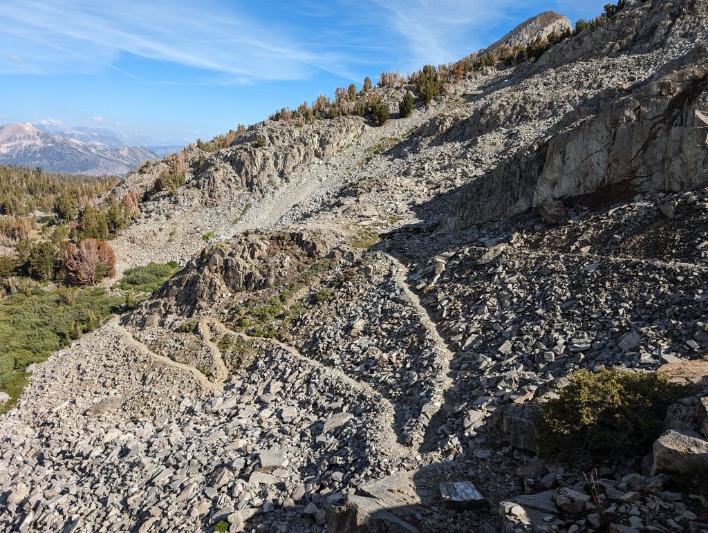
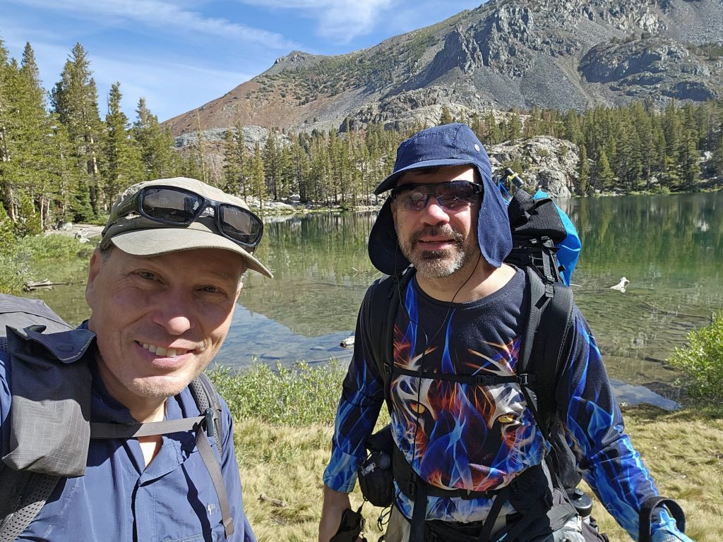
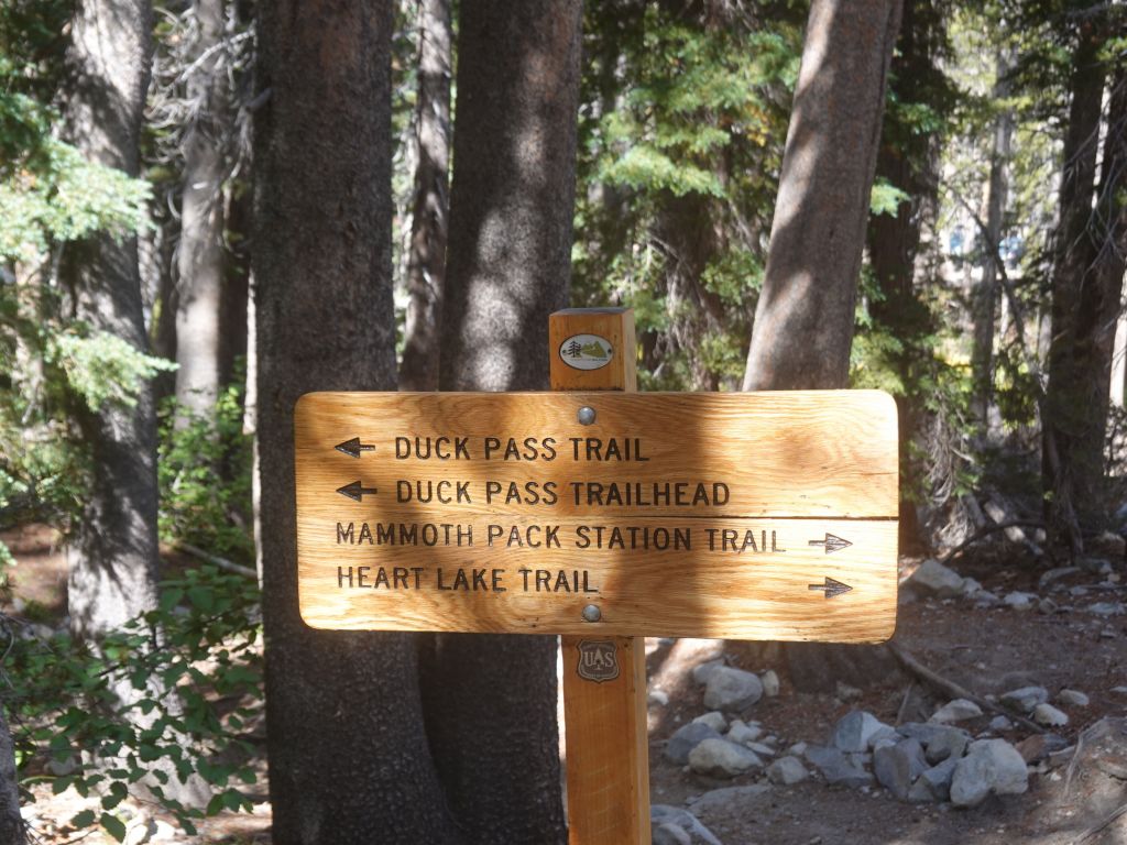
and we got to the bottom
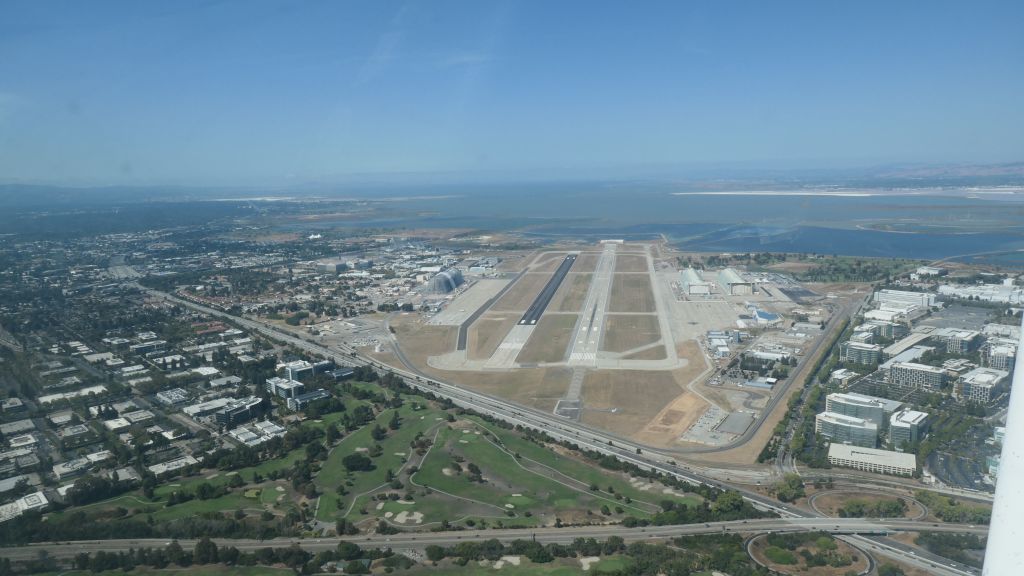
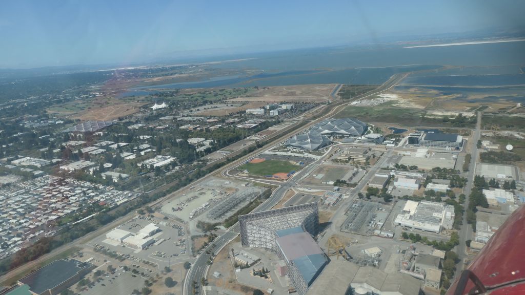
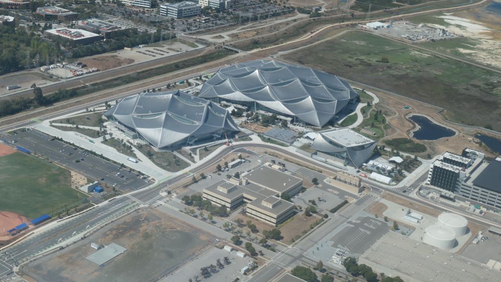
Day 5: Flight back from MMH to PAO
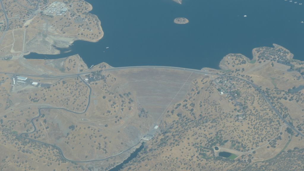
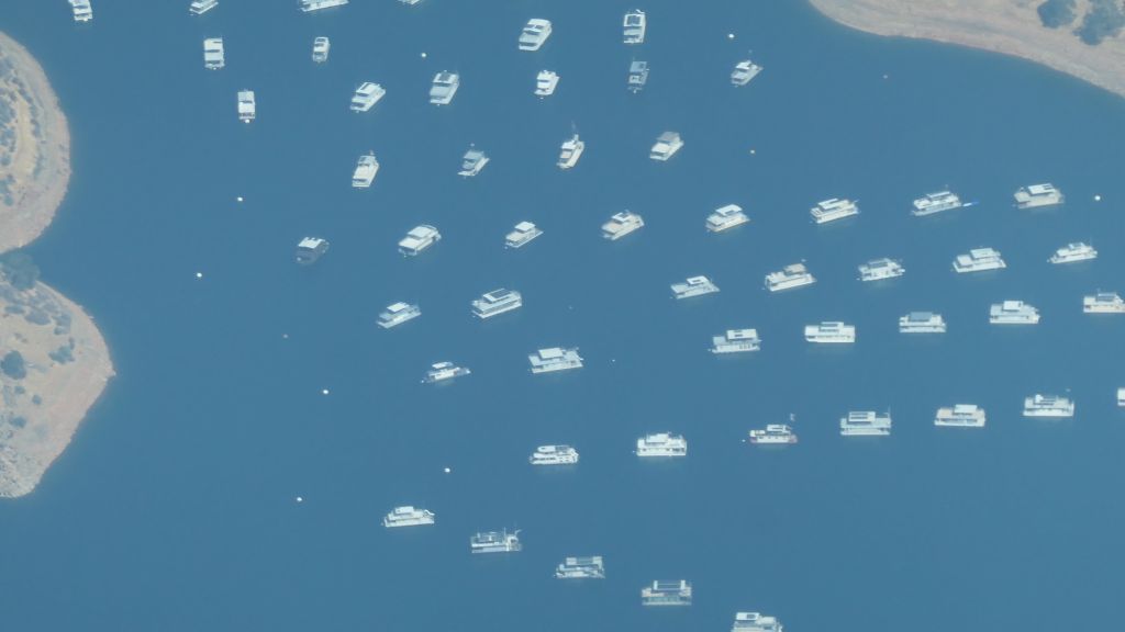
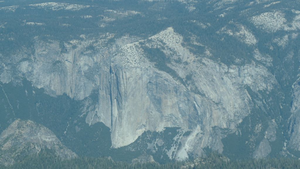
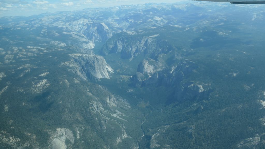
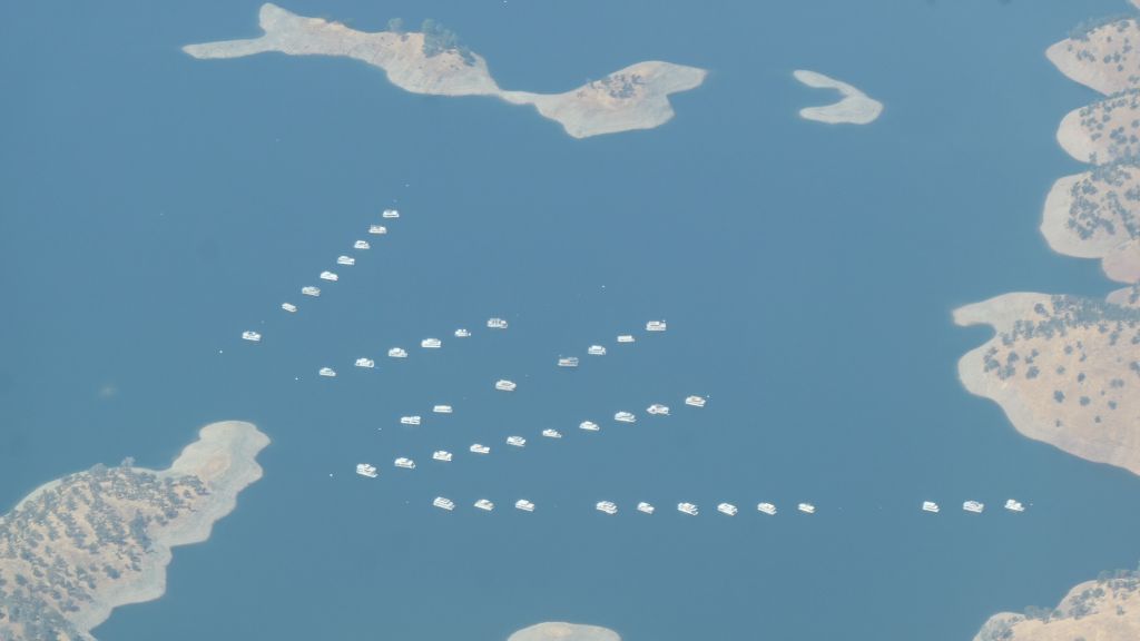
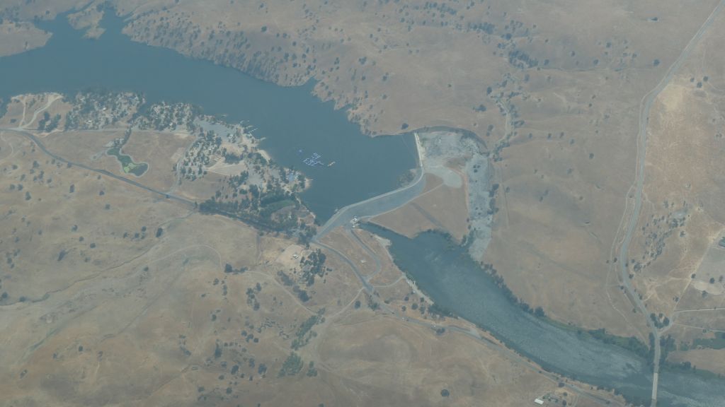
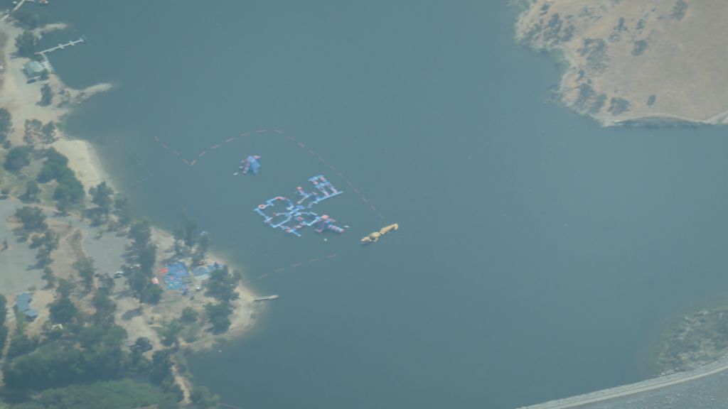
After getting a cab back to Mammoth airport, we were lucky to have mild winds, making the traverse back not so bad. If the winds are strong, it's between unsafe and impossible to cross back in a small plane due to mountain waves. Luckily, we had a pretty flight through yosemite:
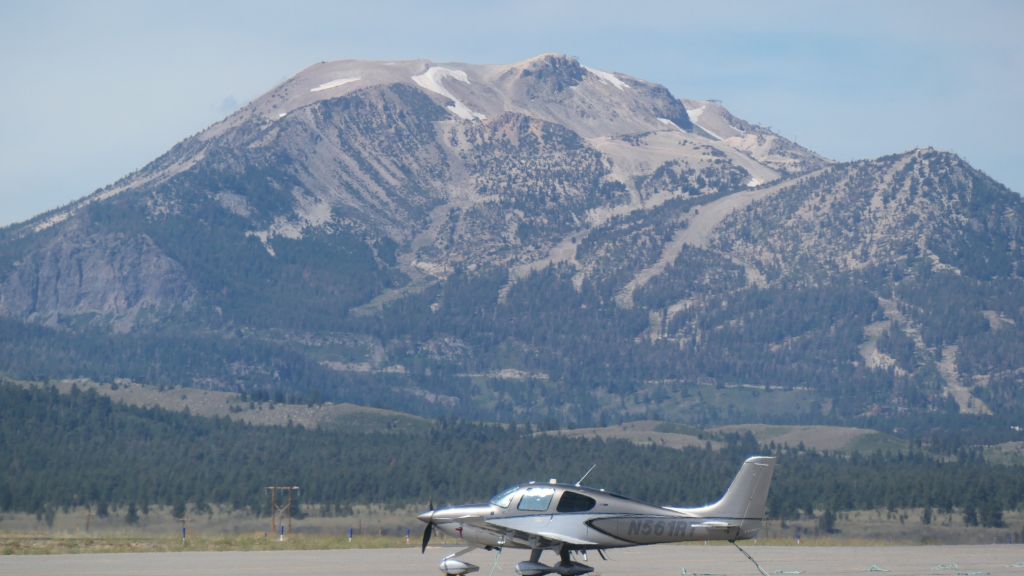
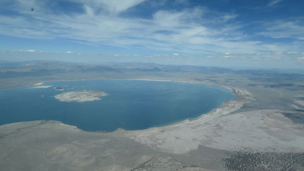
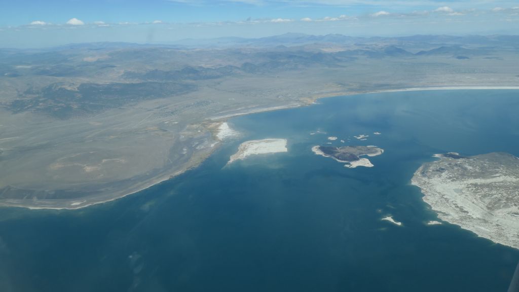
flew towards mono lake to pick up altitude
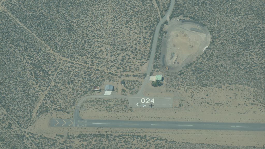
Lee Vining
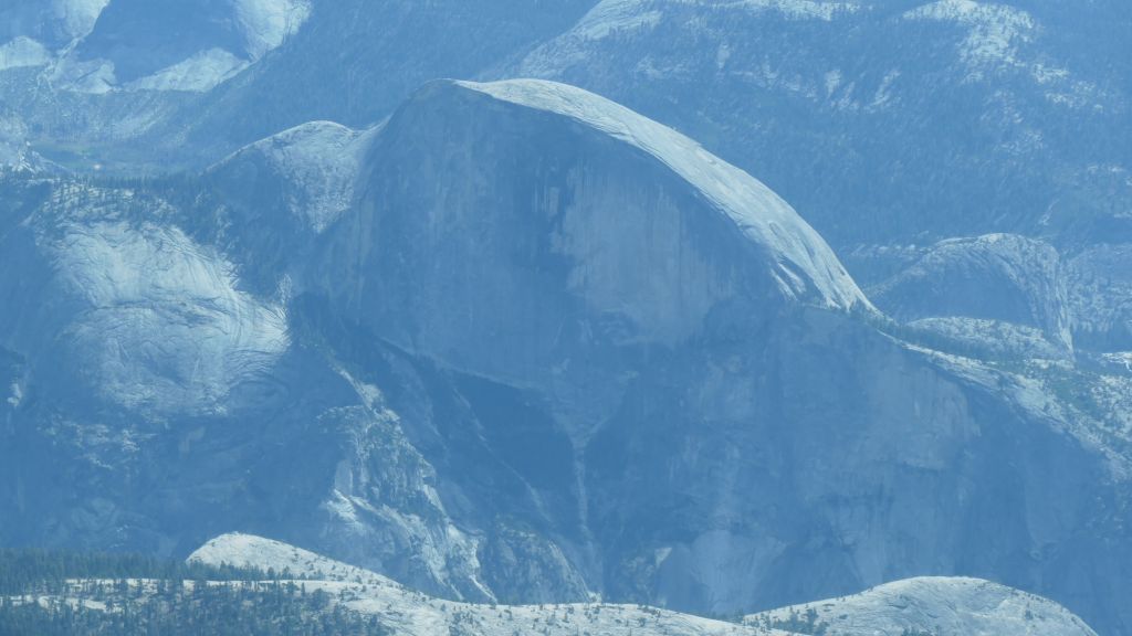
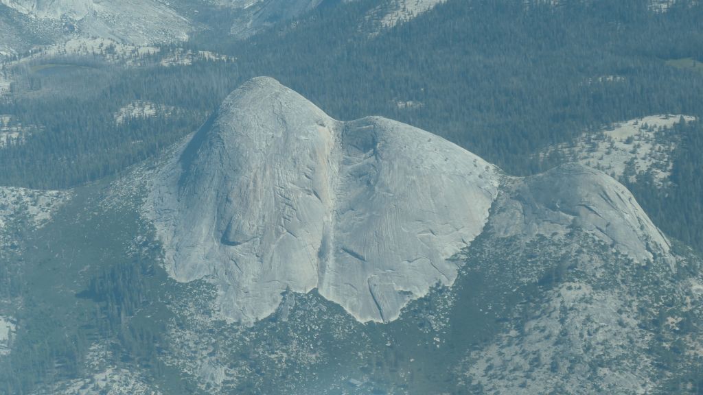
Half Dome
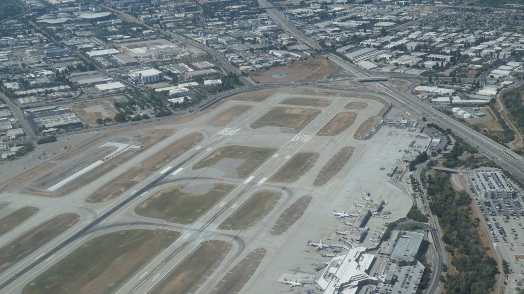
SJC
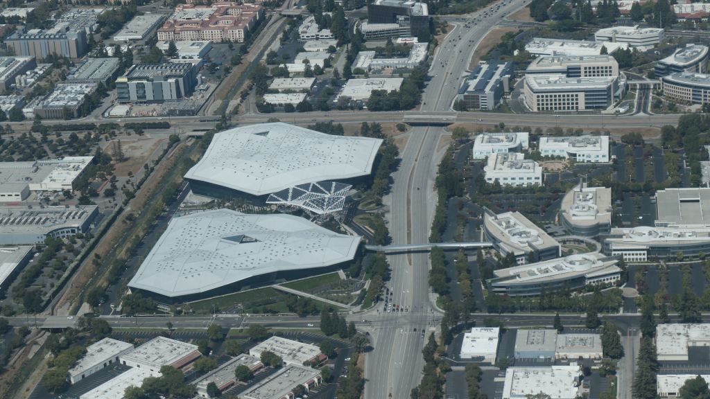
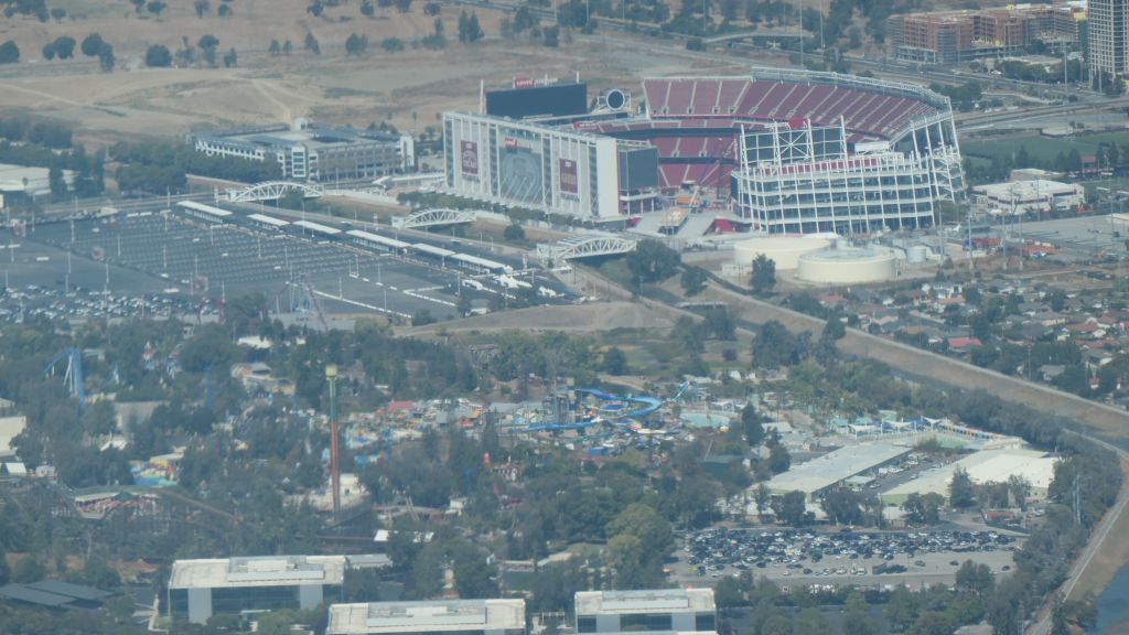
Thanks a ton to Arturo for making this happen.