π
2010-11-15 01:01
in Flying, Nflying
Dan Dyer nicely organized a tour of the SFO tower for a small group of us (limited by space in the tower itself), and I was able to get a spot. It was kind of weird to drive to SFO, find myself among travellers, go through 'secret doors' and find myself within the FAA facility and then the SFO tower, which hardly anyone else gets to see otherwise.
Greg, who was our host, took some time to introduce us to the workflow at SFO, and answer some of our questions for almost an hour, and then took us to the tower itself.
If you've never seen the SFO runway configuration, below is what it looks like. There are 2 long runways (NW-SE) for heavy takeoffs and landings, and two shorter runways for takeoffs. In the ideal configuration, winds permitting, planes land from the water and take off towards the water for noise abatement.
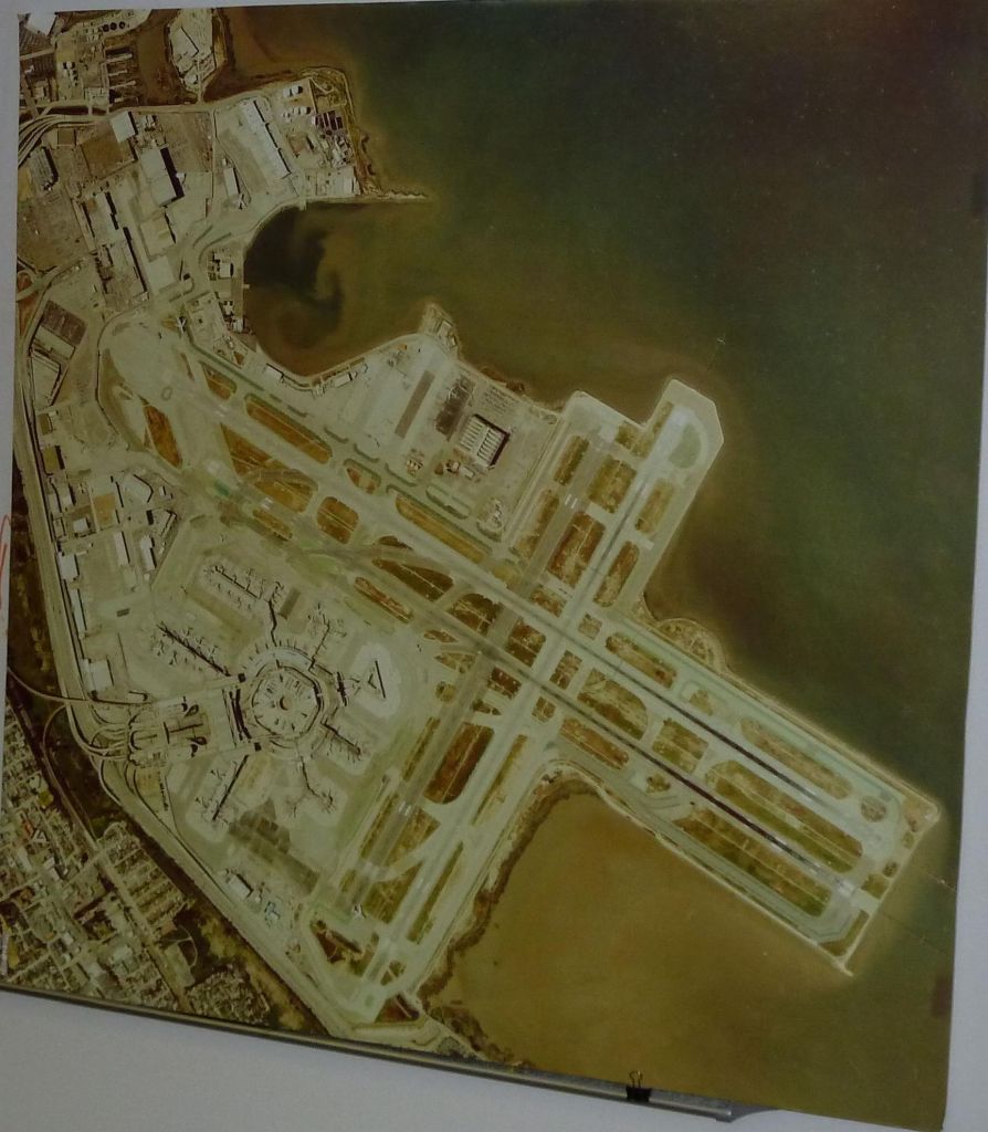
On a normal day, it works with just 4 people, and one is a supervisor who looks over everyone else to make sure nothing gets missed. It's also a lot more quiet than one would imagine, no people running around and screaming :)
The view is pretty fantastic and the job can be very challenging in days of bad weather. The day we came was an easy day where they were running all 4 runways at once in their usual configuration: the long runways for landings and the occasional heavy takeoff, and the shorter runways for takeoffs towards the bay.
")
note a bad office view :)

this is a clearance takeoff strip with assigned runway and initial altitude restriction

the weather computer runs linux

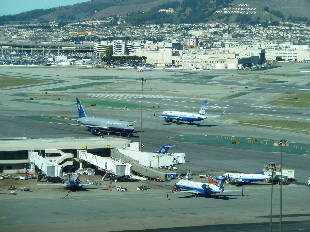
planes and arrival scope

planes arriving almost side to side

the taxi map tracking planes landing and ready for takeoff

solar panels
|
")


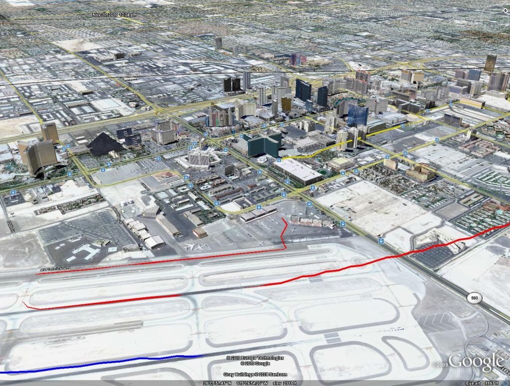
 and landing (red)")

")


")


